

Bombogenesis: Alaska Faces Strongest Storm In 10 Years As Merbok Remnants Threaten Flooding

KEY POINTS
- The storm is expected to spur coastal flooding in western mainland Alaska
- Wind and flood-related warnings have been issued across the state
- The weekend storm may have an impact similar to the 2011 Alaskan storm
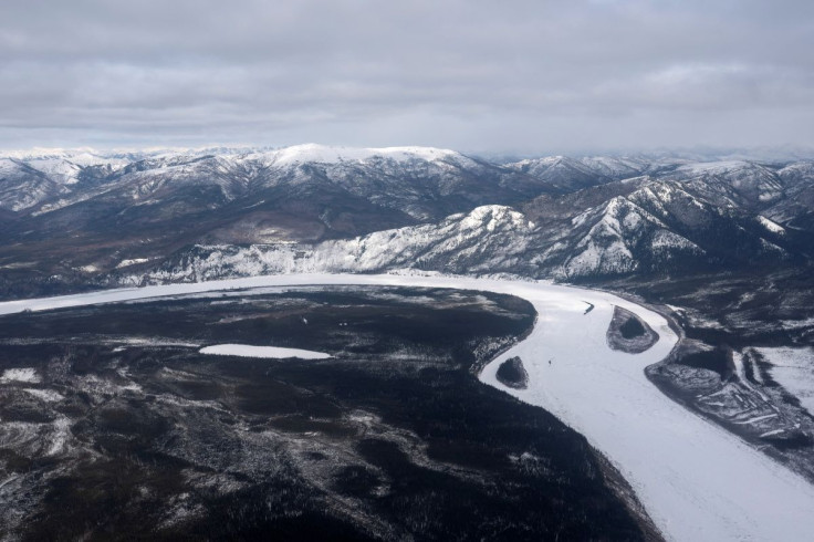
Alaska is faced with what could be the strongest storm yet in the state for over a decade as the remnants of Tropical Storm Merbok move toward the Bering Sea.
The National Weather Service (NWS) predicted that coastal flooding is possible on the western coast of Alaska mainland and the Aleutians this weekend as a bombogenesis event materializes Friday evening.
In an update on the movement of Tropical Storm Merbok, the NWS Weather Prediction Center (WPC) said the storm is "rapidly transitioning to an extratropical low," moving into the Bering Sea, and could bring "coastal floods exceeding 12 ft" over western mainland Alaska and the Aleutians through the weekend.
GOES-W is getting a look at Tropical Storm Merbok rapidly transitioning to an extratropical low as it lifts into the Bering Sea, bringing wave heights up to 48 ft, wind gusts to 90 mph, and coastal floods exceeding 12 ft over W. Mainland AK and the Aleutians through the weekend. pic.twitter.com/hAGsk64J2f
— NWS Weather Prediction Center (@NWSWPC) September 15, 2022
The NWS in Fairbanks, Alaska also warned that Merbok may bring "very strong winds to the West Coast," with gusts reaching 90 mph in the Bering Strait, Diomede and Savoonga.
In addition to the storm surge, this storm will also bring very strong winds to the West Coast. Winds may gust up to 90 mph in areas such as Savoonga, Diomede, and the Bering Strait. Other areas can expect gusts in the 70s, with gusts as high as 80 mph possible. #akwx pic.twitter.com/gG95I6XyOb
— NWS Fairbanks (@NWSFairbanks) September 15, 2022
Merbok "is likely going to be the strongest storm in over a decade, with impacts likely rivaling impacts we saw in 2011 from what's referred to as the Bering Sea Superstorm," NWS Fairbanks meteorologist Jonathan Chriest said, as reported by CNN.
Chriest was referring to the 2011 Alaskan storm that left a trail of destruction, including blown-off roofs. At the time, concerns were raised for Alaskan natives residing in 18 villages across the region.
Weather forecasters have also predicted that remnants of Merbok will "bomb out" by Friday evening.
Also called bombogenesis, "bombing out" is referred to as the instance when a cyclone experiences a pressure drop of 24 millibars within 24 hours or less, according to the National Oceanic and Atmospheric Administration (NOAA).
In bombogenesis, the storm rapidly strengthens likely causing massive damage to the areas it reaches.
Multiple weather warnings have been issued in some parts of the Alaskan region as part of the efforts to urge residents to remain alert.
High Wind Warning effective Friday through early Saturday:
- Pribilof Islands
High Wind Warning effective Friday afternoon through Saturday morning:
- Kuskokwim Delta
Coastal Flood Warning effective Friday evening through Saturday afternoon:
- Kuskokwim Delta Coast
Coastal Flood Warning effective noon Friday through Sunday morning:
- Bering Strait Coast
- St. Lawrence Island
- Yukon Delta
Coastal Flood Warning effective Friday afternoon through Sunday morning:
- Chukchi Sea Coast
Coastal Flood Warning effective Friday evening through Sunday morning:
- Southern Seward Peninsula Coast
Coastal Flood Warning effective Friday evening through Sunday:
- Eastern Norton Sound
- Nulato Hills
For the complete list of active warnings and watches issued for the Alaskan region, click here.
The NWS in Anchorage has also warned that areas along the coast may see water levels rising "5 to 8 feet above the normal highest tide line."
⚠For the Kuskokwim Delta Coast, we are expecting gusty southerly winds and coastal flooding. A High Wind Warning and a Coastal Flood Warning have been issued.
— NWS Anchorage (@NWSAnchorage) September 16, 2022
🌊For areas along the coast, water levels will rise 5 to 8 feet above the normal highest tide line.
#AKwx pic.twitter.com/sUsvsSbJHJ
In its latest Hazards Outlook, the WPC predicted that after the "intense cyclone" during the weekend in Alaska, "another occluded cyclone is forecast to form south of the Aleutians on Sunday." By Monday, the WPC is expecting heavy rain to reach the southern coastal part of Alaska and higher terrains the next day.
By the middle of the week, the WPC is expecting heavy snow and heavy rain to "expand eastward" and into northern parts of the panhandle.
© Copyright IBTimes 2025. All rights reserved.
- MOST POPULAR IN National


