

Lake-Effect Storm To Blitz Buffalo, Watertown Over 4 Days; 6 Feet Of Snow Predicted

Several weather forecast agencies have sounded the alarm regarding a "paralyzing" multi-day lake-effect snowstorm that is expected to hit western New York. Snowfall in feet, not inches, is predicted to fall in and around Buffalo and Watertown, according to the National Weather Service.
The first round of snowfall was forecasted for Wednesday night and into Thursday morning with depths exceeding 9 inches, CNN reported.
"A long duration lake-effect snow event will continue through the weekend. To start, let's look at tonight and tomorrow only. Lake-effect snow will fall to the east and southeast of the Great Lakes starting this evening and continuing through tomorrow. #nywx" NWSBuffalo tweeted Wednesday evening.
A long duration lake effect snow event will continue through the weekend. To start, let's look at tonight and tomorrow only. Lake effect snow will fall to the east and southeast of the Great Lakes starting this evening and continuing through tomorrow. #nywx pic.twitter.com/zh6SWzpvUv
— NWS Buffalo (@NWSBUFFALO) November 16, 2022
Conditions are expected to intensify Thursday and meteorologist Jon Hitchcock told CNN, "Friday looks to be the worst day for the city (of Buffalo) as snow will be intense and fall at the rate of two to three inches per hour." Winds up to 35mph are predicted.
Travel within the lake-effect bands will be "extremely dangerous, if not impossible," especially across Buffalo Metro Friday and Friday night. Some areas could receive as much as 4 feet of snow through Sunday, however, AccuWeather has predicted up to 6 feet of snow.
"Buffalo and its southern suburbs may receive as much as 3 to 6 feet of snow by Sunday," AccuWeather meteorologist Matt Benz said, adding that Thursday night into Friday, and Saturday into Saturday night, "will likely feature the worst conditions of this event."
The first phase of the lake-effect snowstorm began Wednesday evening with heavy lake-effect snow east of Lake Erie and Lake Ontario, making travel difficult from the distant southern suburbs of Buffalo into the western Southern Tier and portions of Oswego County.
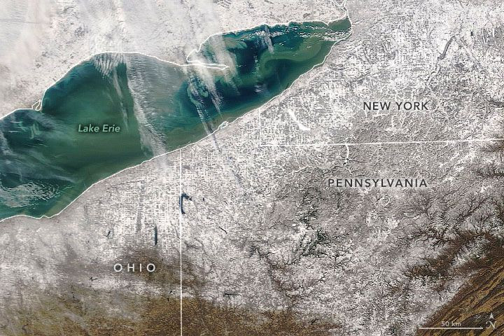
Cold air from Canada will pass over the warm waters of lakes Erie and Ontario. Warmth and moisture will cause the air to rise, resulting in cloud formation, eventually causing heavy snowfall – in this case – for days at a time.
"It's too early to say if we're going to get that much snow," Hitchcock said, "but [it] could be the worst event for the city of Buffalo in the past five or six years at least."
In addition to western New York, lake-effect snow over the next few days will blitz western and Upper Michigan, northern Indiana, northeast Ohio and northwest Pennsylvania, according to Weather.com.
© Copyright IBTimes 2025. All rights reserved.
- MOST POPULAR IN National


