NASA Asks Citizen Scientists To Help Map Earth, Moon, Mars
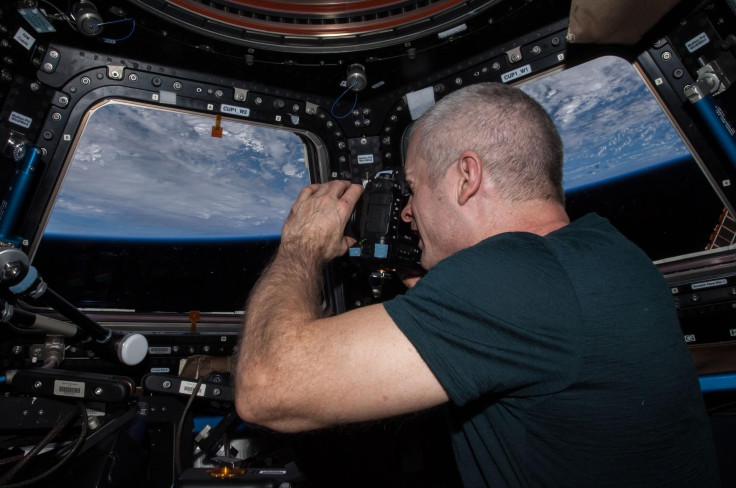
If you love looking at the photos NASA astronauts take from the International Space Station, now you can look at them and do a little bit of research for NASA. NASA and CosmoQuest are asking ordinary citizens to help them analyze and identify Earth features in photos taken from space.
The photos are all hosted on the CosmoQuest website under the "Image Detective" feature and there’s a fairly long training tutorial to help users learn to properly identify the features in the photos. First it asks users to identify whether there are any parts of the photo showing outer space or if there’s any cloud coverage. Then users mark which landforms they see in the photo like rivers, oceans, islands, lakes or anything else. Several lists of features are presented for users to click through and select whichever are present in the photos.
There’s also a portion of the identification process that is a little tricky, it has users locate the photo on a map. Using the zoom features on the site users can look along coast lines or across land to find what the photo focuses on. The training is to just get users used to it, for those who want to continue identifying more photos, they have to register with the site. That way they can work on photos on their own time.
There are 1.5 million photos in the image detective site, “We need your help analyzing these images – this is a task only a human like you can accomplish. Please join us in enhancing NASA’s extensive catalogue of astronaut images that can be used for science and enjoyed for their beauty,” the site says.
The photos were taken by the Astromaterials Research and Exploration Science (ARES)/Earth Science and Remote Sensing Unit with NASA. Such photos are used for scientific research and can be especially useful for finding how the Earth is changing over time.
The site also allows users to map the moon, Mars and Mercury on the site to help with research. The process for mapping those is a bit easier than mapping the photos taken by the astronauts, but it’s a great way to get a new view on the planets. All of these mapping projects are part of the citizen science work CosmoQuest is doing. That work is called citizen science because it’s done by everyday people, those who aren’t scientists but spend their free time working on research that could result in groundbreaking science.
© Copyright IBTimes 2026. All rights reserved.
- MOST POPULAR IN Technology