

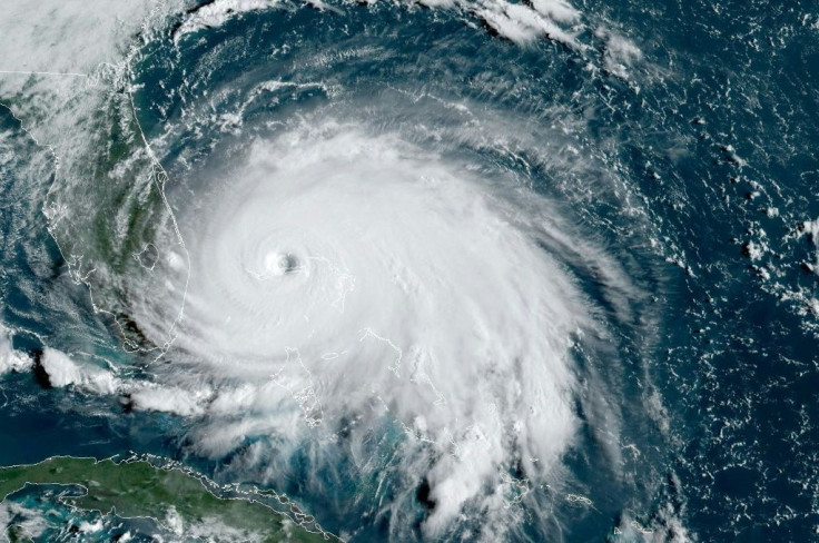
National Hurricane Center Tracking 3 Tropical Disturbances In Atlantic Ocean
KEY POINTS
- One disturbance formed in the northern Atlantic while two were located west of the Cabo Verde Islands
- Hurricane Nana has dissipated since making landfall in Central American and Tropical Depression Omar is moving further out into the Atlantic
- The two disturbances off the coast of Cabo Verde are forecast to overlap, potentially strengthening at least one of them
As Hurricane Nana rapidly dissipated in Central American and Tropical Depression Omar continues moving further into the Atlantic, the National Hurricane Center is tracking three new disturbances Friday that formed over the last week.
The most pressing fronts of the three were sitting in the central Atlantic after forming along the western coast of Africa. Both were west of Cabo Verde and tracking westward, though both were moving at a relatively slow pace compared to previous fronts.
Tropical disturbance 2 is considered the weaker of the two fronts and the NHC does not expect it to shift further west from where it is in the Atlantic. The NHC gives it a 40% chance to strengthen over the next five days.
“A nearly stationary broad area of low pressure is located over the east-central tropical Atlantic about midway between the west coast of Africa and the Windward Islands,” the NHC said in a press release “This system continues to produce disorganized showers and thunderstorms, and gradual development is possible after the larger tropical wave located near the Cabo Verde Islands passes to the north of this system on Sunday.”
However, the question is what role the other tropical disturbance in the area could play.
Tropical disturbance 3 was east-northeast of tropical disturbance 2, but was moving westward and organizing at a faster pace. As it becomes more organized, the southern end of the front is forecast to overlap with tropical disturbance 2 and help intensify tropical disturbance 3 over the coming week.
AccuWeather hurricane expert Dan Kottlowski said the Lesser Antilles should monitor tropical disturbance 3 and prepare accordingly if the front strengthens.
“This system could become a hurricane as it moves west-northwest near or just north and east of the Leeward Islands,” Kottlowski said.
The third tropical disturbance the NHC was tracking is in the northern Atlantic, near Tropical Depression Omar. It is not forecast to cause any problems as it is moving north-northeast along a similar path to Omar, keeping it in the open ocean.
“A non-tropical area of low pressure is located over the north-central Atlantic about 500 miles south-southeast of Cape Race, Newfoundland,” the NHC said. “This low is expected to move north-northeastward near 15 mph, and some slight subtropical or tropical development of this system is possible before it reaches cooler waters tonight.”
© Copyright IBTimes 2025. All rights reserved.
- MOST POPULAR IN National


