

Extreme Weather 2021: Snow Storm Uri To Bring Snow, Ice, Gusty Winds
Another winter storm is making its way across the U.S. this week with snow and ice potentially causing major damage in some areas.
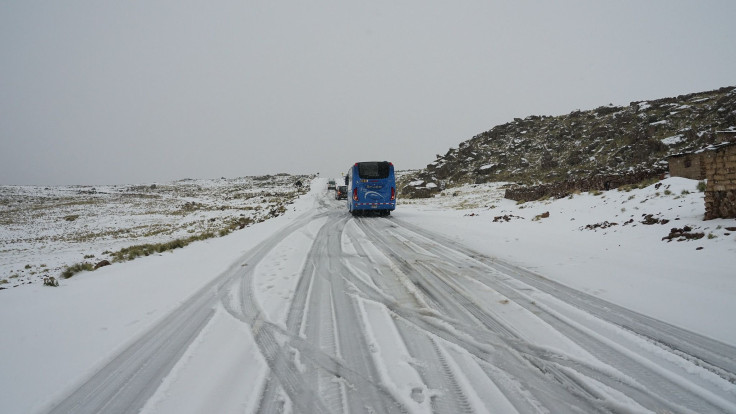
Winter storm Uri is starting in the southern part of the U.S. and making its way north. Uri has already hit the Rockies and is heading to the Southern and the Central Plains.
As part of Winter Storm Viola, roughly 10 inches of snow blanketed Seattle in the city's snowiest day since 1969. In Portland, more than 200,000 people were without power.
Right on the heels of #WinterStormUri, another cross-country storm will track across the U.S. through late week. This could bring a second round of wintry weather to many cities.
— The Weather Channel (@weatherchannel) February 14, 2021
Forecast: https://t.co/PbvCFHt3Ct pic.twitter.com/2zcCw6jHEG
Uri has come from a jet-stream disturbance and a low-pressure system that has been spreading moisture into cold air, according to the Weather Channel.
Along with the ice and snow, wind gusts over 60 mph have also been cruising across these states, as well as New Mexico.
Throughout Sunday, Sunday night and even into Monday, there will be snow watches in Kansas, Oklahoma, Texas and potentially even Missouri and Arkansas. Mississippi, Ohio and Pennsylvania will also be under watches and warnings.
A Winter Weather Advisory has been issued for the counties shaded in blue within this graphic from midnight tonight to 10 AM Monday. A light glaze of ice is expected due to freezing rain, freezing drizzle, and freezing fog. Take it slow if you must travel! pic.twitter.com/mF4XspCK0s
— NWS Blacksburg (@NWSBlacksburg) February 14, 2021
Louisiana, Alabama, South Carolina and West Virginia can expect sleet and freezing rain these days as well.
The wave of heavy snow is making its way across the Northeast, including New York state and New England. A Winter Weather Advisory is already in effect through Tuesday morning for New York's tri-state area.
© Copyright IBTimes 2025. All rights reserved.
- MOST POPULAR IN National


