

Flood Watches Issued In 5 States Including Colorado Ahead Of Expected Heavy Rainfall

KEY POINTS
- Multiple Flood Watches have been issued for five statesincluding Colorado and Arizona
- Heavy rain is expected in affected areas through Wednesday, and in Colorado, through Thursday
- In Colorado, the highest amounts of rain are expected to occur in the mountains
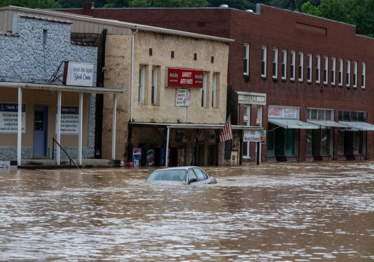
Flood watches have been issued in five states as forecasters predicted heavy rainfall to hit the Four Corners region this week. The National Weather Service (NWS) noted that heavy rainfall is expected "especially around portions of southwest Colorado on Wednesday."
Over the Four Corners region, flash, urban, and small stream flooding is possible through the week due to heavy rainfall, especially around portions of southwest Colorado on Wednesday; a moderate risk excessive rainfall outlook and flood watches have been issued. pic.twitter.com/yC05atyf6n
— National Weather Service (@NWS) September 20, 2022
In an update posted on the NWS Boulder Twitter account, the agency said the "heaviest rain" is expected to come "Wednesday evening with the largest amounts in the mountains." Up to 1.5 inches of rain is expected in affected areas in Colorado through Thursday. By Wednesday, widespread showers are expected in most areas across the northeastern part of the state.
Tropical moisture is making its way into the state Tuesday night bringing rain and cooler temperatures. The heaviest rain to occur Wednesday evening with the largest amounts in the mountains. Potential rain amounts for Wednesday thru Thursday range from 0.5 in to 1.5 in. #cowx pic.twitter.com/dDmybXeiYe
— NWS Boulder (@NWSBoulder) September 19, 2022
The NWS in Phoenix also projected higher chances of rain in several areas in Arizona. The office said the areas with the highest chances of rain Wednesday are Gila Bend, Globe, and Phoenix.
As a wetter weather pattern develops this week, here's the chance of getting increasingly higher amounts of rain at a few locations across our area Wed/Wed night. Isolated higher amounts (1"+) are also possible (<10%) which raises the threat of flash flooding. #azwx #cawx pic.twitter.com/lk7b6TXlmk
— NWS Phoenix (@NWSPhoenix) September 19, 2022
In New Mexico, a Flood Watch was issued by the NWS in Albuquerque late Monday. The office warned of "strong storms" moving into the Roswell area in a social media post.
9/19 2:53 PM MDT | Strong storms are moving ENE toward the Roswell area over the next hour or so. #nmwx pic.twitter.com/U6x6Rx5BY6
— NWS Albuquerque (@NWSAlbuquerque) September 19, 2022
Over in Utah, the "highest threat" of flash floods is also expected Wednesday, according to the NWS in Salt Lake City. Scattered showers are expected in the state Tuesday afternoon and evening.
⛈Increasing moisture will once again increase the flash flood threat across central and southern Utah. The highest threat is expected on Wednesday, though southern Utah can expect scattered showers and thunderstorms Tuesday afternoon/evening. #utwx pic.twitter.com/IncmYYRE0f
— NWS Salt Lake City (@NWSSaltLakeCity) September 19, 2022
The NWS Alaska Region branch forecasted the heaviest rainfall to occur in the Yakutat area by Tuesday evening. Rain is expected to continue in Alaska through Wednesday evening.
Rain starts this afternoon and continues through Wednesday night for the Yakutat area. The heaviest rainfall will be late Tuesday into the overnight hours. Expect rain to move into the rest of the panhandle beginning late Tuesday night and continuing through the week. #AKwx pic.twitter.com/oa4z4RIbR4
— NWS Alaska Region (@NWSAlaska) September 19, 2022
The following Flood Watches have been issued for Colorado:
Flood Watch effective from Tuesday evening through Thursday evening:
- Portions of central Colorado
- Portions of south central Colorado
Flood Watch effective from Tuesday evening through Thursday evening:
- Central Colorado River Basin
- Debeque to Silt Corridor, Gore and Elk Mountains
- Flat Tops
- Upper Gunnison River Valley
- Sawatch Mountains
- West Elk Mountains
- Road and Tavaputs Plateaus
Flood Watch effective from Tuesday afternoon through Thursday evening:
- Animas River Basin
- Uncompahgre River Basin
- Four Corners/Upper Dolores River
- Grand and Battlement Mesas
- Southwest San Juan Mountains
- Grand Valley
The following Flood Watches have been issued for Arizona:
Flood Watch effective from Tuesday morning through Wednesday evening:
- Coconino Plateau
- Kaibab Plateau
- Grand Canyon Country
- Marble and Glen Canyons
Flood Watch effective from Tuesday afternoon through Thursday evening:
- Flagstaff and Tuba City
- Apache County
- Navajo County
The following Flood Watch has been issued for New Mexico:
Flood Watch effective from Tuesday afternoon through Tuesday evening:
- Northwest Highlands
- Northwest Plateau
- Chuska Mountains
- West Central Mountains
- West Central Plateau
- Southwest Mountains
The following Flood Watches have been issued for Utah:
Flood Watch effective from Tuesday afternoon through Thursday evening:
- Canyonlands/Natural Bridges
- Arches/Grand Flat
- Abajo Mountains
- La Sal Mountains
Flood Watch effective from Tuesday evening through Thursday evening:
- Tavaputs Plateau
Flood Watch effective from Tuesday afternoon through Wednesday evening:
- Glen Canyon Recreation Area
- Lake Powell
- Capitol Reef National Park and vicinity
- South Central Utah
- San Rafael Swell
- Western Canyonlands
The following Flood Watches have been issued for Alaska:
Flood Watch effective through late Wednesday evening:
- Copper River Basin
Flood Watch effective through late Wednesday evening:
- Southeast Prince William Sound
Flood Watch effective through late Wednesday evening:
- Northeast Prince William Sound
Residents in areas under a Flood Watch have been urged to prepare for action should flooding occur. Forecasters also said residents should stay alert should the issued Flood Watches be upgraded to Flood Warnings.
© Copyright IBTimes 2025. All rights reserved.
- MOST POPULAR IN National


