

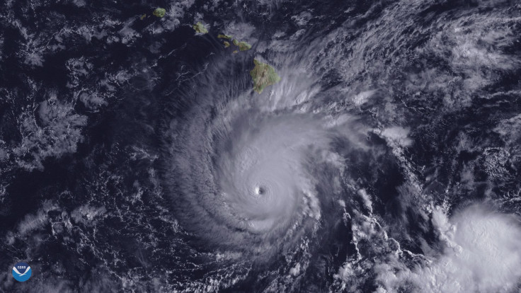
Hurricane Dorian Update: Dorian Upgraded To Category 1 Storm, Now Heading For East Coast Of Florida
With Dorian being upgraded from a tropical storm to a hurricane, the storm is now on a collision course with the southeastern United States.
The National Hurricane Center upgraded Dorian to a Category 1 hurricane early Wednesday afternoon as it began to pass over Puerto Rico. It was upgraded to a hurricane as it began to pass by St. Thomas Island, reportedly with sustained winds of 80 mph and gusts reaching 111 mph.
Puerto Rico is expected to face the full force of Dorian by Wednesday evening as its heart passes over the island.
Dorian also now appears to be taking a slightly different path to Florida than originally thought.
Original forecasts had the storm ripping through parts of Cuba, the Dominican Republic, and the U.S. and British Virgin Islands. Dorian is now projected to shift further along a more northbound path than previous before shifting west on its way to the southeast coast of the U.S.
Florida could face an even stronger storm than what’s in the Caribbean. Besides upgrading it to a hurricane, the NHC has also said that the new path will place Dorian in more open and warm water. It will still pass through a good portion of the Virgin Islands, but the total landmass isn’t expected to be enough to slow down the storm.
Florida could be facing down a Category 3 hurricane by Labor Day, according to the NHC. The path shift also means residents in Northern Florida, especially Jacksonville, will have to contend with the winds, heavy rain and dangerous tides.
Computer models note that Dorian could make landfall Tuesday or Wednesday as far north as the Carolinas.
© Copyright IBTimes 2025. All rights reserved.
- MOST POPULAR IN National


