

Tropical Depression In Atlantic May Become Tropical Storm Josephine
KEY POINTS
- Tropical Storm Josephine is forecast to form in the open Atlantic Ocean, moving westward towards the eastern Caribbean and southern Florida
- Meteorologists cautioned the front could change paths depending on the conditions it meets while strengthening
- On its current path, the front is forecast to face wind shear and dry air that would cause it to dissipate over the weekend
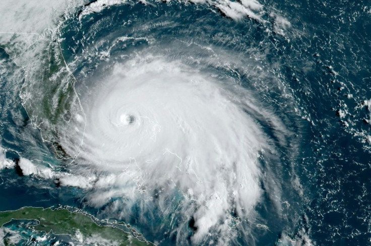
Tropical Depression Eleven is forecast to strengthen into Tropical Storm Josephine on Wednesday, marking the 10th named storm in the Atlantic during the 2020 hurricane season. This would be the earliest a “J” named storm has formed in the Atlantic since 2005.
As of Wednesday, the depression had sustained winds of around 35 mph and was moving west at 15 mph.
“We expect this system to move on a curved path to the west-northwest and then to the northwest in the coming days,” AccuWeather hurricane expert Dan Kottlowski said. The projected path by the National Hurricane Center has the storm scraping the Lesser Antilles going into the weekend, but Kottlowski warned this could easily change based on the conditions in the front’s path ahead of Saturday.
“Until the system fully develops, the long-range path might be misleading and all interests in the Lesser Antilles, especially the Leeward Islands should closely monitor the progress of this system,” Kottlowski said.
Cautionary projections show the storm traveling in one of six potential paths, three of which have the front turning northward, away from the Lesser Antilles and Caribbean. The other four projected paths have the storm either skirting or outright hitting the eastern Caribbean on its way to potentially hitting southern Florida.
The question on most experts’ minds is if the storm will maintain going into the weekend or dissipate. Forecasts have the front hitting wind shear and dry air the closer it gets to the eastern Caribbean, causing it to potentially weaken and breakup over the weekend into scattered fronts.
“There is a good chance that as this feature, regardless of its organization and strength into Friday, would begin to unravel in the zone of wind shear and drier air this weekend,” Kottlowski said.
However, experts have cautioned given how active the season has been already, all areas in and around the front’s path should still monitor it and prepare properly should it turn and intensify further.
© Copyright IBTimes 2025. All rights reserved.
- MOST POPULAR IN National


