

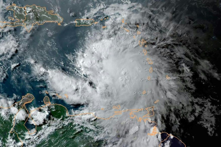
Tropical Storm Elsa Update: National Hurricane Center Cautions Tampa Bay About Dangerous Path

The National Hurricane Center on Monday issued a tropical storm warning for the Tampa Bay region as Elsa moved closer to Cuba. Since the storm formed on Friday, its impact on Tampa has remained uncertain.
Forecasters are unsure whether the storm will continue to strengthen or if it will change directions and head northeast once it passes the mountains of Cuba.
Although Elsa is expected to weaken over Cuba, it will remain strong enough to continue on a path of destruction, but how fast it makes a turn northeast will determine how much it will impact the Tampa Bay region.
A fast turn means the storm will remain in the Atlantic Ocean and have a minimal impact on the area. However, a slower turn means there is a higher chance Elsa can either hit the coast or move through the west, meaning it will have a higher impact on the area.
A recent forecast projected tropical storm Elsa moving at 14 mph toward the northwest. Overnight, tropical storm Elsa became stronger with max sustained winds of 65 mph and wind gusts of 75 mph.
On Monday, the tropical storm is expected to follow a path across central and western Cuba before it arrives in the Florida Keys during the early hours of Tuesday.
Throughout Tuesday and Wednesday, Elsa is expected to pass over portions of the Florida Gulf Coast.
The Tampa Bay region could get hit with one to four feet in storm surge, tropical storm force winds, and two to four inches of rain. Elsa could arrive in the area overnight Tuesday and into Wednesday.
Tropical storm Elsa is expected to progress toward Georgia but could weaken to a tropical depression when it gets to the Savannah area. Despite the change, the area will still experience gusty winds, heavy rains, and flooding.
© Copyright IBTimes 2025. All rights reserved.
- MOST POPULAR IN National


