

Tropical Storm Fernand Update: Another Storm Forming Off The Coast Of Mexico
On the heels of Hurricane Dorian, a tropical storm is expected to form in the Gulf of Mexico by the end of Tuesday.
The National Hurricane Center began tracking a tropical depression that was forming off the coast of Mexico over the weekend as Dorian ripped through the Bahamas. It continued to pick up strength as it sat in the Gulf before being upgraded to Tropical Storm Fernand by the NHC Tuesday afternoon.
Fernand currently sits around 150 miles off the coast of La Pesca, Mexico, and was tracked moving west at 7 mph with wind speeds of 40 mph. It is also the seventh storm to form during the Atlantic’s 2019 storm season.
In the wake of the damage Dorian inflicted on the Bahamas, Mexico has issued a tropical storm warning for coastal Mexico up to the U.S.-Mexico Border. The heart of the storm is expected to hit mainland Mexico by Wednesday evening and begin weakening as it moves northwest towards the southern tip of Texas.
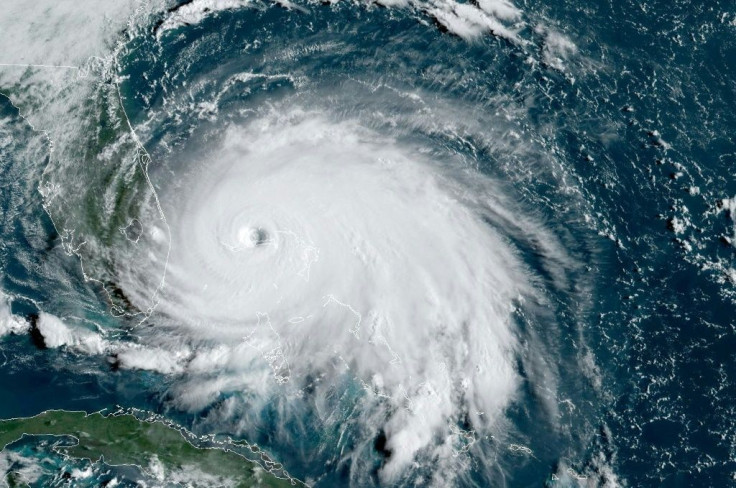
The NHC also took to Twitter to offer a satellite image showing how active the Atlantic has become in the last week. Along with Dorian and Fernand, three additional tropical depressions are being tracked from the Central Atlantic to the west coast of Africa.
While the focus has understandably been on Hurricane Dorian, the entire tropical Atlantic basin has become quite active. There are currently 3 disturbances being monitored for potential development, with another tropical wave expected to move off the African coast later this week pic.twitter.com/qwP3qz3YYj
— NWS Eastern Region (@NWSEastern) September 2, 2019
© Copyright IBTimes 2025. All rights reserved.
- MOST POPULAR IN National


