

Extreme Weather 2019: More Hail, Rain, Tornadoes To Hit The Midwest US
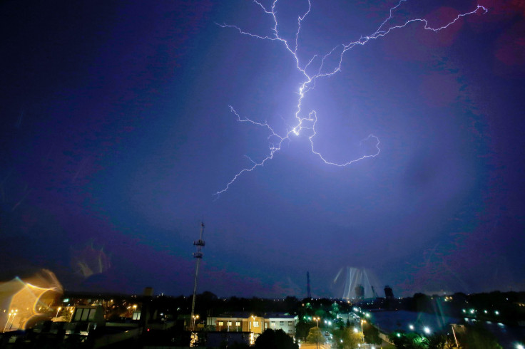
The Midwest and Southern U.S. over the weekend was hit with over 60 tornadoes, along with hail and severe rainfall. The extreme weather continued into Monday, with areas under threat of flash flooding and more tornadoes from the storms.
More such weather is expected late into Tuesday.
The National Weather Service has a standing warning for parts of Oklahoma, Kansas, and Missouri still under threat from passing storms.
7:51am CDT #SPC Day1 Outlook Enhanced Risk: over portions of missouri, western illinois and central/northern arkansas https://t.co/GtEvHQ3UxE pic.twitter.com/XffkMcQ5HK
— NWS Storm Prediction Center (@NWSSPC) May 21, 2019
Oklahoma has seen some of the worst damage as a result of these storms. Areas have seen as much as five feet of water due to the rainfall from Monday.
As of Tuesday morning, 22 million state residents were still under flash flood warnings from more heavy rain. A tornado also touched down near Tulsa International Airport Tuesday morning, though no heavy damage was reported.
Thunderstorms hit Tulsa on Tuesday afternoon with winds reaching 16 miles per hour.
8:20 AM Radar Update: Continued threat for severe storms far eastern #OKwx moving into NW #ARwx by 10am. A tornado watch still in effect til 12pm. pic.twitter.com/GpYlZF9kb7
— NWS Tulsa (@NWStulsa) May 21, 2019
Missouri, Illinois, Arkansas, and parts of Texas and Louisiana are still under threat from more severe weather as well, despite facing the main brunt of the storms over the weekend. And while more tornadoes are very likely, heavy gusts and large hail will be the main threats to those regions through Tuesday night.
© Copyright IBTimes 2025. All rights reserved.
- MOST POPULAR IN National


