

Extreme Weather 2019: Tropical Storm Chantal In The Northern Atlantic, Disturbance Forming In The Bahamas
Weather services are monitoring a new tropical storm that has formed in the Northern Atlantic and a disturbance acting up on the east coast of the United States.
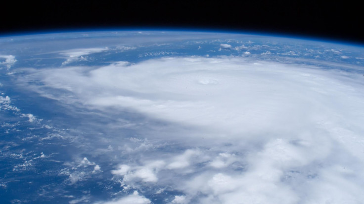
First is Tropical Storm Chantal, which formed Tuesday night in the Northern Atlantic a few hundred miles off the coast of Cape Race, Newfoundland. It began forming over the weekend when the National Hurricane Center picked up on a weather disturbance along the southeast coast of the U.S. While the NHC monitored it, they said the proximity to the coast made it harder to gather enough strength to become a full storm.
That began to change as the disturbance moved farther out to sea on Monday, gaining strength faster now that it was away from land. By Tuesday night, it had reached tropical storm strength.
Currently, the storm is continuing to work east but is expected to turn south and begin heading back west over the next few days. The NHC said the storm will likely drop to a tropical depression before it gets back to the coast, though another storm may not be far behind.
The NHC confirmed Wednesday that another disturbance is forming in the Bahamas. It has produced an array of scattered showers and thunderstorms that have coated the islands caught in its way as it continued to move north towards the Florida coast.
However, the NHC also assures that if it gains strength, it will be a slow build over the next week.
The National Oceanic Atmospheric Administration expects potentially up to four major hurricanes in 2019.
© Copyright IBTimes 2025. All rights reserved.
- MOST POPULAR IN National


