

Extreme Weather: Potential Tropical Cyclone Nine Tracked In Atlantic, Storm Warnings Issued In Caribbean
KEY POINTS
- Potential Tropical Storm Nine was being tracked in the Atlantic, west of the Lesser Antilles, and is projected to make landfall on Wednesday
- Tropical storm warnings have been issued for much of the Caribbean as the front is forecast to strengthen to Tropical Storm Isaias by Thursday
- The National Hurricane Center's projected path has the front making landfall in southern Florida by Saturday, with winds averaging around 60 mph
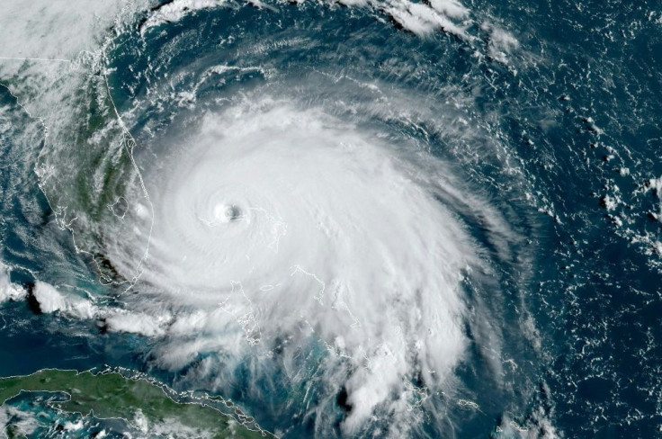
Another tropical storm warning has been issued for the Caribbean and Florida, days after Hurricane Gonzalo hammered Bermuda and Hurricane Hanna hit coastal communities along the Gulf of Mexico.
The National Hurricane Center issued the tropical storm warning around 11 a.m. on Tuesday after a tropical cyclone formed in the Atlantic Ocean. Tropical cyclone nine had sustained winds around 40 mph and was moving west towards the Lesser Antilles at 23 mph. A tropical storm watch was also in effect for the northern coast of the Dominican Republic as the front is forecast to strengthen to Tropical Storm Isaias in the next 48 hours.
“Potential Tropical Cyclone Nine will produce heavy rains and potential life-threatening flash flooding and mudslides across the northern Leeward Islands, the Virgin Islands and Puerto Rico," the National Hurricane Center said.
As the cyclone moves into the Lesser Antilles, it is forecast to turn northwestward towards Puerto Rico. The initial rainfall is expected to be beneficial for Puerto Rico, which has struggled with drought along the island’s eastern and southern regions. Flood warnings have still been issued as some areas are forecast to receive upwards of 10 inches of rain when the storm hits.
The storm's projected path has it making landfall along several islands during the week before hitting southern Florida by Saturday. By then, the front is forecast to have grown significantly and producing winds around 60 mph.
However, some meteorologists have said the storm has been slow in development thanks to conditions in the surrounding area.
“Moderate wind shear over the feature and dry air to its north has prevented the broad area of thunderstorms from becoming better organized the past few days,” AccuWeather meteorologist Rob Miller said. “As this feature moves briskly along to the west-northwest, wind shear is forecast to weaken, which should allow a better-defined center to take shape.”
Its current path also remains questionable all will have to be monitored as the week goes on. This is due to the lack of a centralized pattern, though one is expected to form in the coming days. Depending on where it forms, the projected path of the storm could change drastically and take more direct aim at the Gulf of Mexico or end up shooting farther north and miss Florida completely.
© Copyright IBTimes 2026. All rights reserved.
- MOST READ


