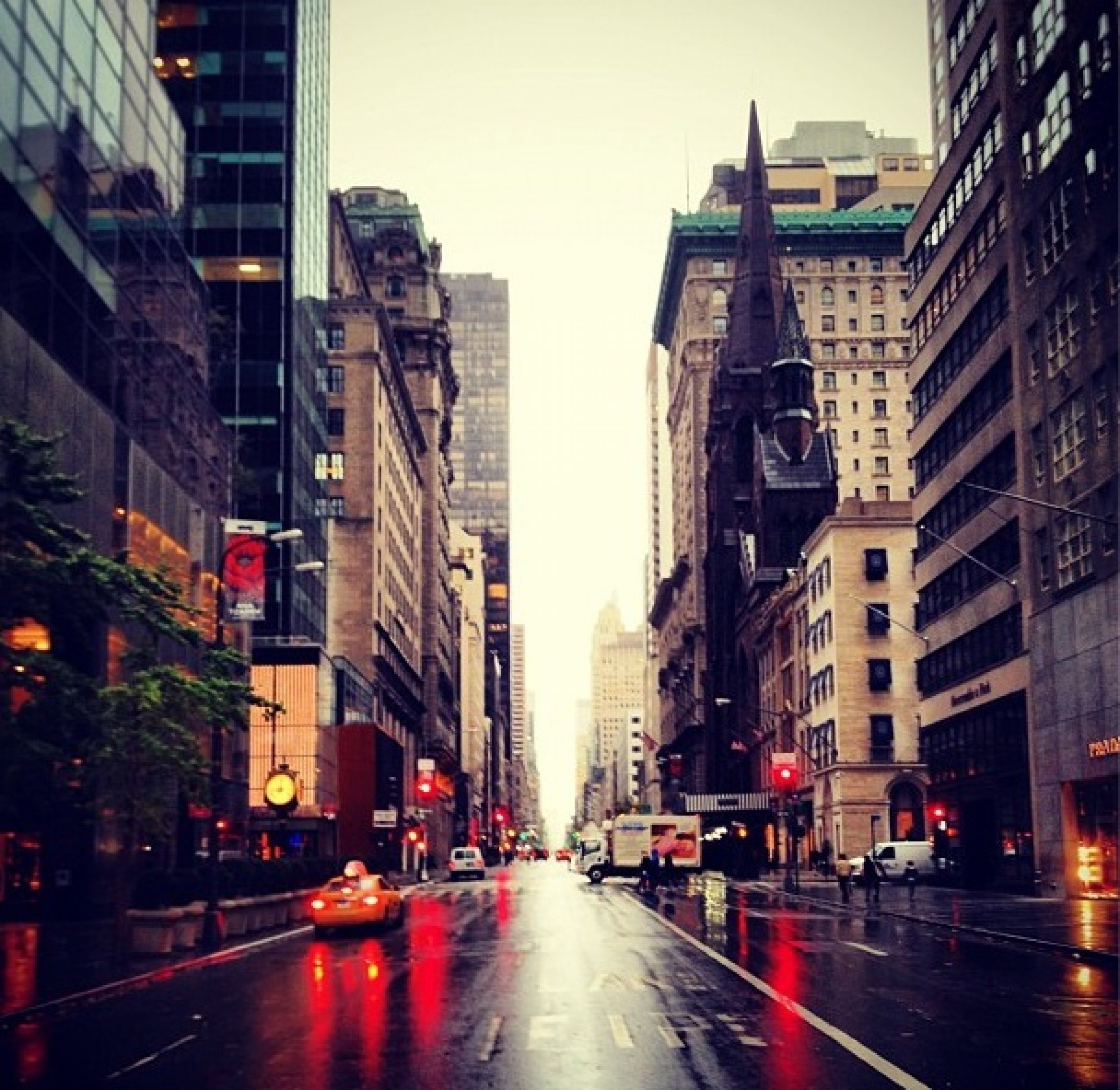
Hurricane Sandy 2012: 10 Amazing Photos Of The Storm’s Path Through New York On Instagram [PICS]
As the weekend came to a close, New Yorkers prepared for the advent of Hurricane Sandy. Experts have predicted that it will be worse than 2011’s Hurricane Irene, which barreled through Greater New York little over a year ago.
Appropriately dubbed “Frankenstorm” just in time for Halloween, the approaching storm called for a mandatory shut down of New York City subways as of 7 pm Monday. The term “Frankenstorm,” which was coined by Jim Cisco of the National Oceanic and Atmospheric Administration, describes Sandy’s mixed weather system composition.
The 900-mile storm forced residents along the East Coast to evacuate, and the storm is expected to bring widespread power outages to residents in its path. The National Guard was deployed along the Atlantic Coast, according to Fox News, as Sandy is currently on a collision course with a winter storm and a cold front.
“This is the worst case scenario,” Louis Uccellini, environmental prediction chief for the National Oceanic and Atmospheric Administration said to Fox News.
Forecasters have said that New York may face the worst of Sandy, with an 11-foot wall of water that could swamp parts of Manhattan. Tens of thousands of residents evacuated the city, reported Fox, including 375,000 people in lower Manhattan and other parts of New York City.
Unlike its predecessor Irene, Sandy is expected to pick up more strength as it reaches land.
“In fact, the storm could still be growing when it reaches the region,” writes Eric Holthaus of The Wall Street Journal.
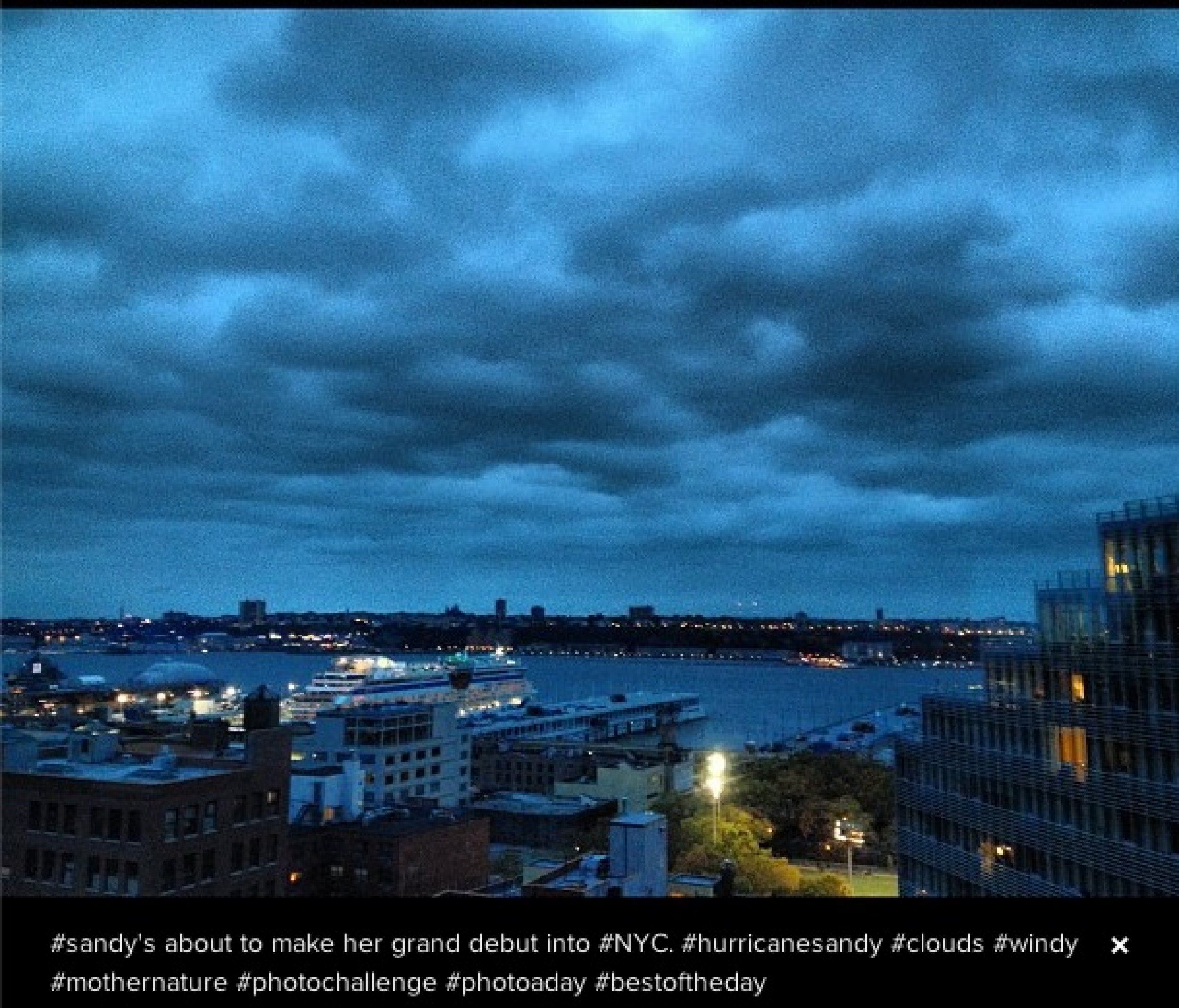
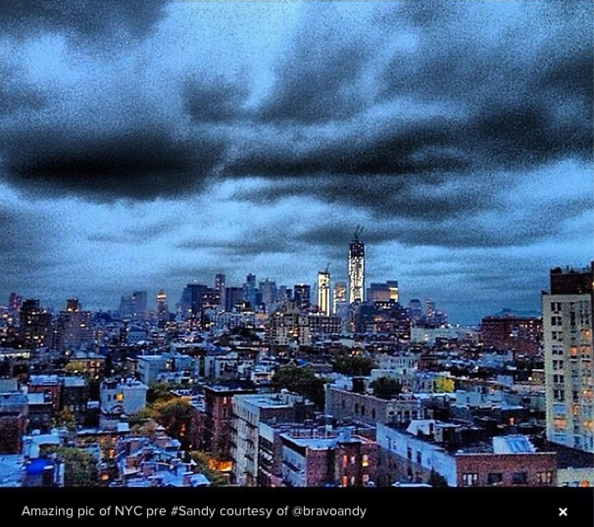
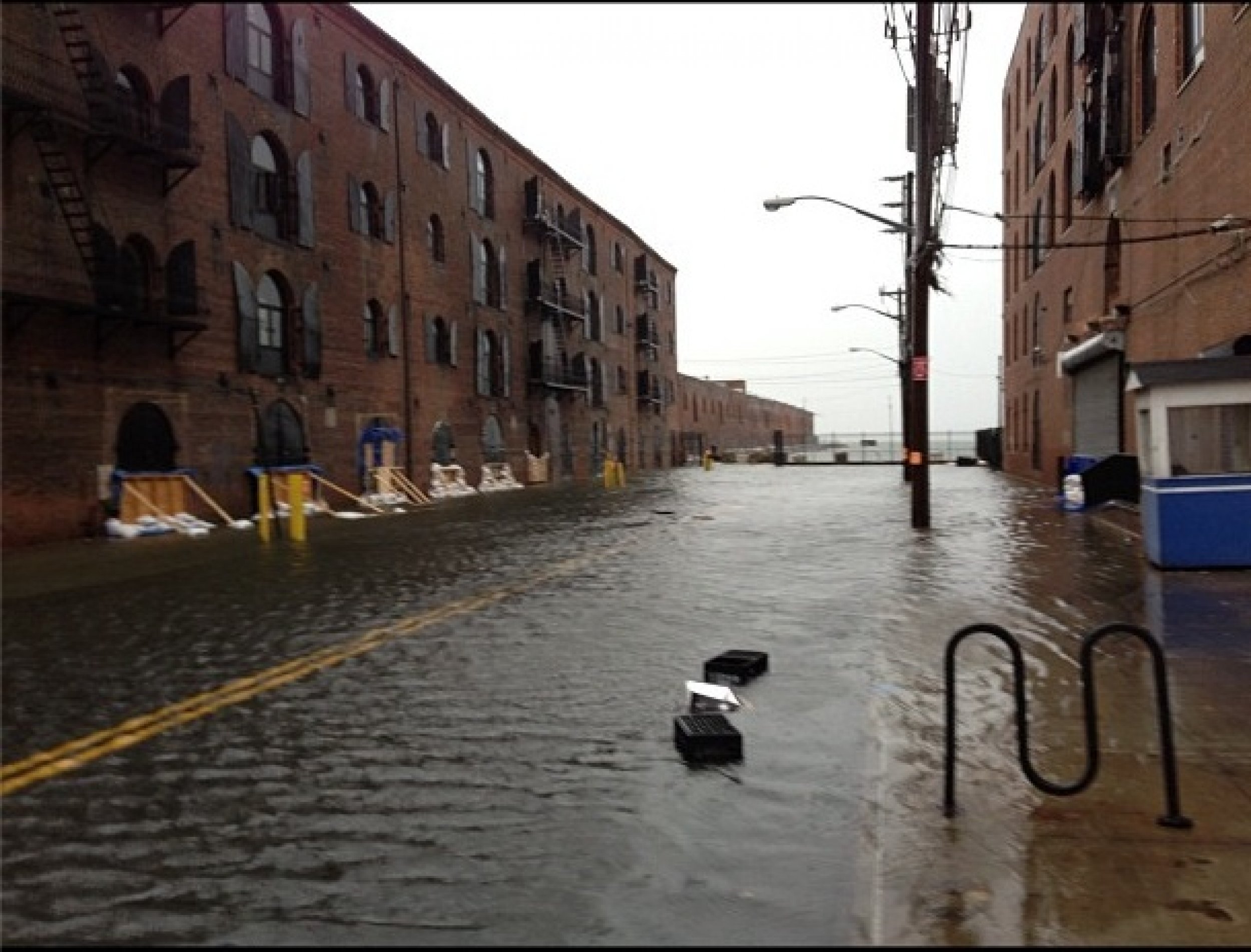
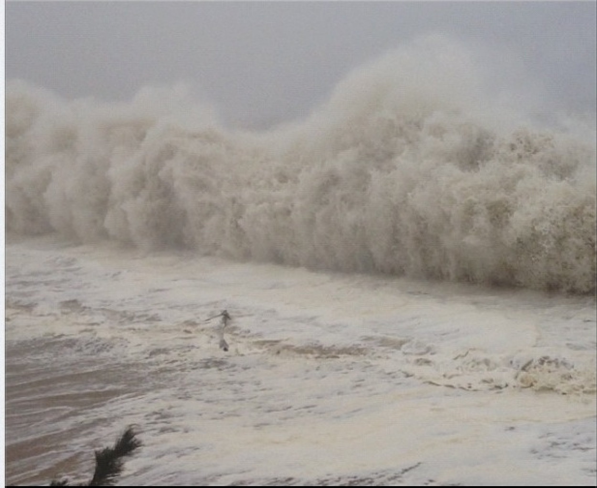
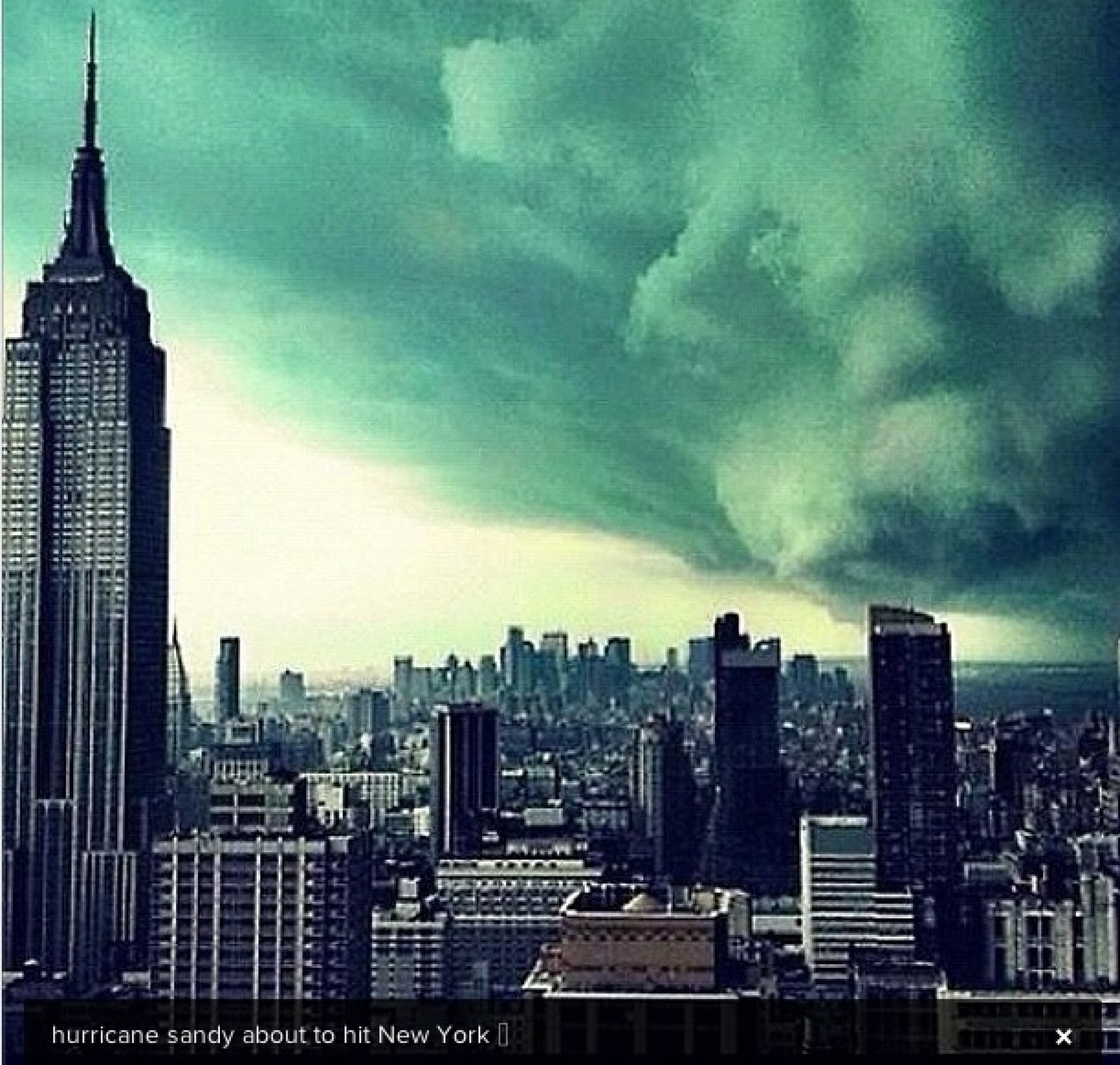
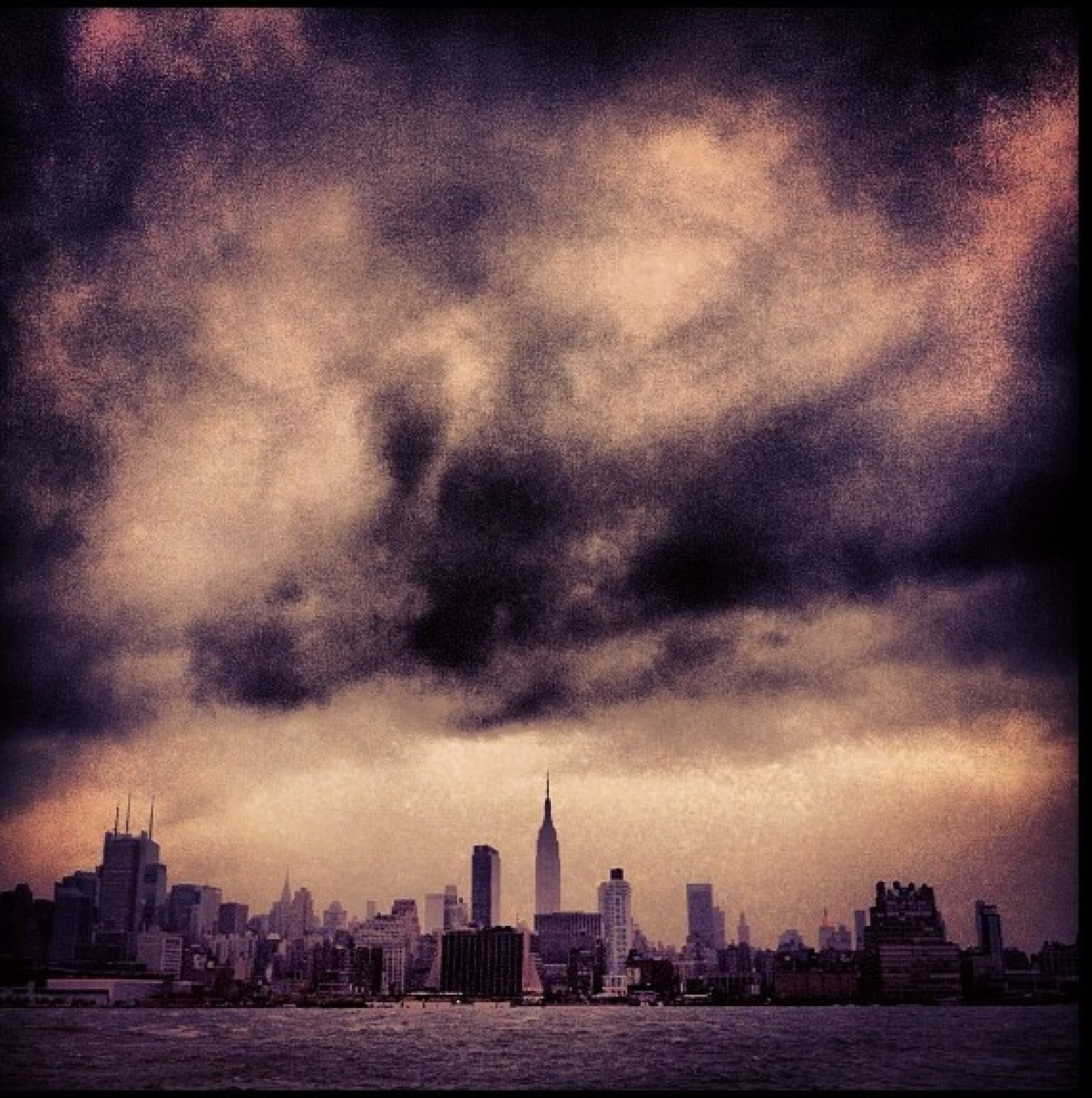
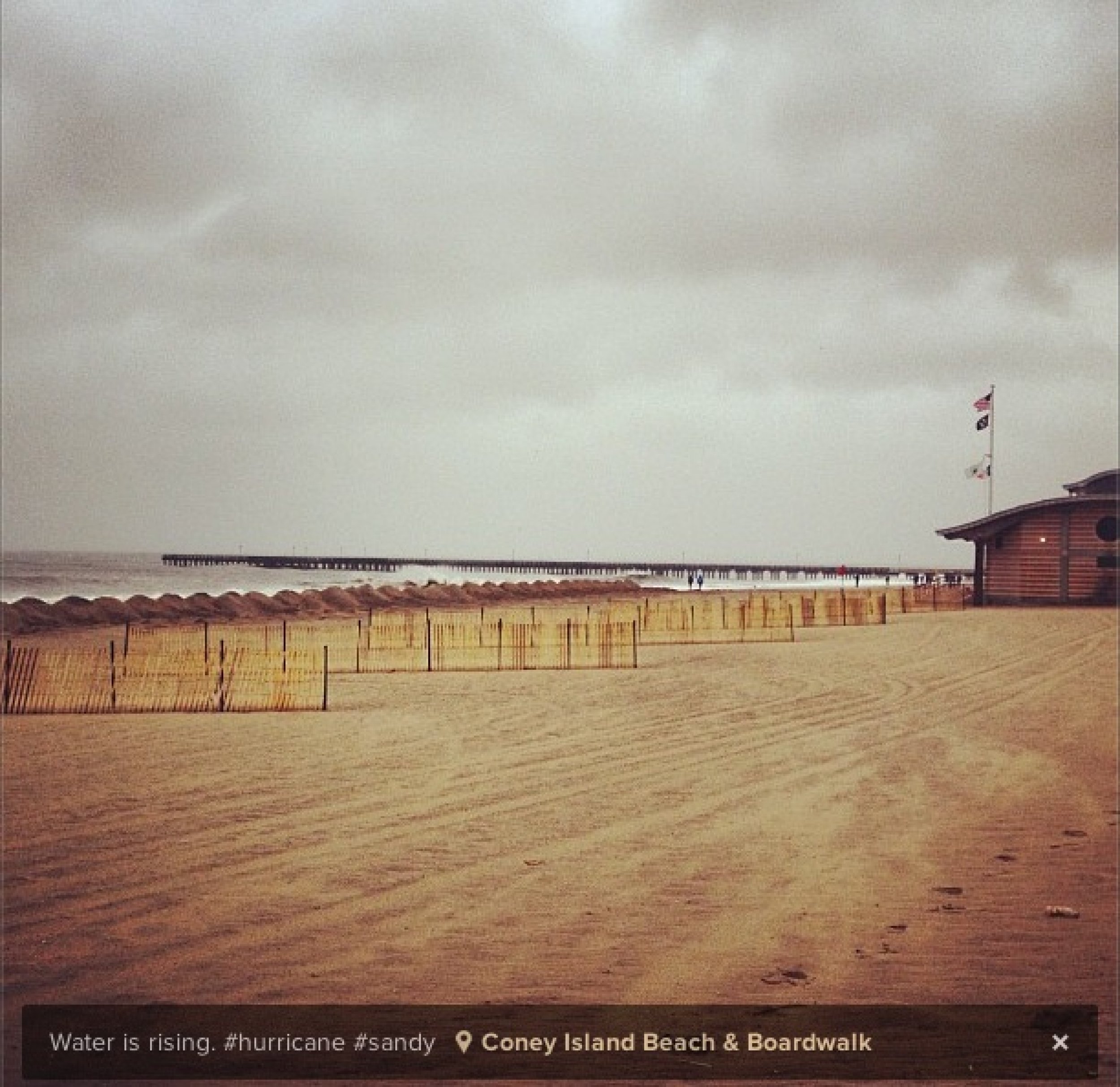
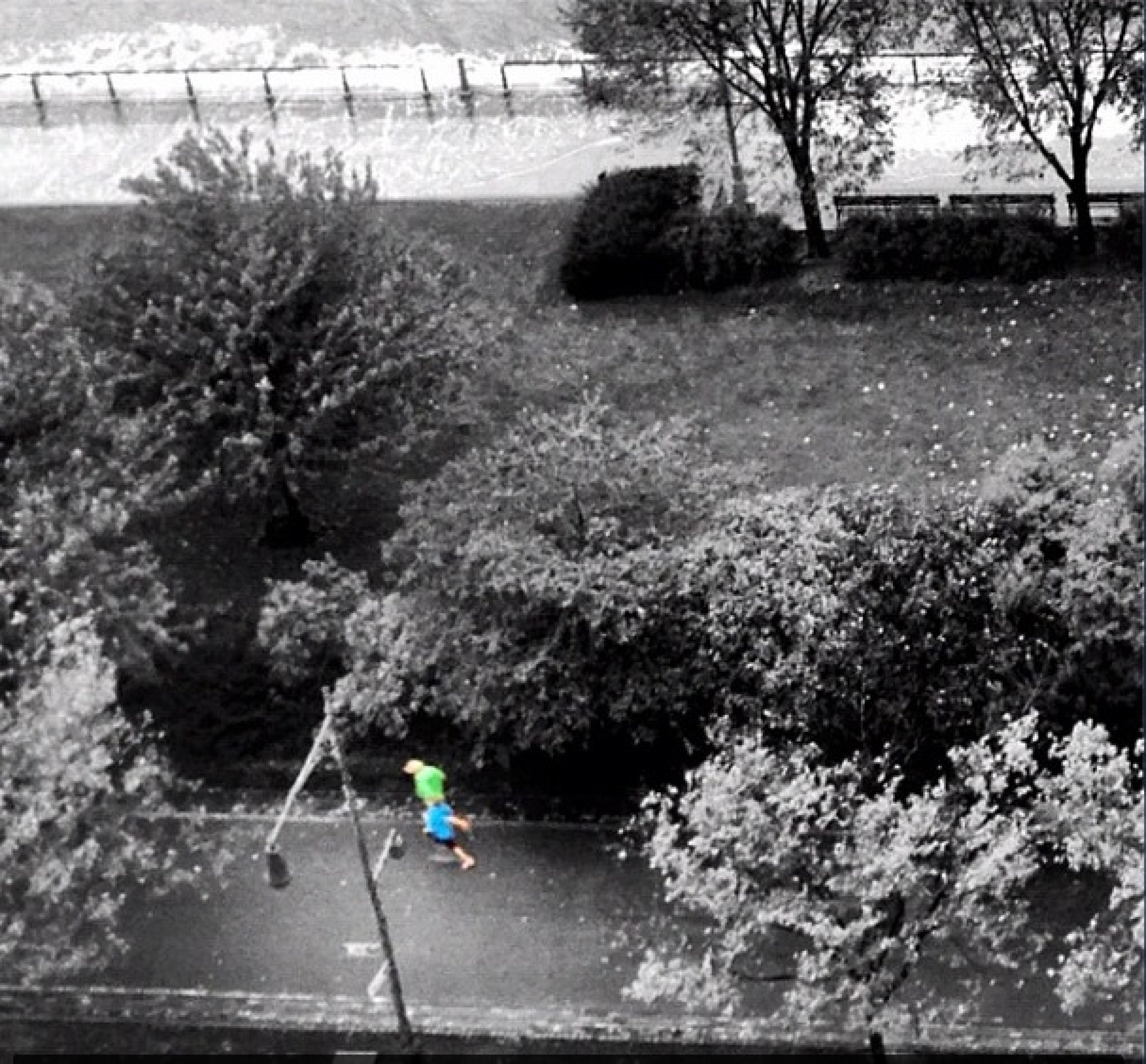
As Sandy approaches, some social media users captured the storm’s impending presence on camera. Check out our gallery of some of the best Hurricane Sandy images from Instagram.

© Copyright IBTimes 2025. All rights reserved.


