

Snow Storm In NYC: Winter Weather Creates ‘Hazardous Conditions’ And ‘Treacherous’ Commutes

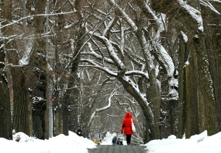
New Yorkers are bracing. themselves for another winter storm, which is expected to leave a blanket of snow across the state, NYC, and parts of New Jersey and Connecticut.
The National Weather Service initially issued a winter storm watch with predictions of “hazardous conditions” with three to five inches of snowfall accumulation on Thursday.
“This will be a long-duration winter weather event. Light to moderate snowfall is likely early Thursday morning into afternoon,” the NWS stated in an advisory.
“A light wintry mix of sleet and/or freezing rain is possible for a period Thursday evening into Thursday Night, before turning back to light snow on Friday morning and ending in the afternoon or evening.”
However, forecasters are predicting New York City will be in the eye of the snowstorm. While the boroughs could get hit with as much as 10 inches of snow, Long Island and the Jersey Shore could face three to six inches.
Carl Erickson, an AccuWeather senior meteorologist, told the New York Post the heaviest of the snow will fall between 9 a.m. and 4 p.m. EDT.
“It will start off as snow,” he explained. “It’s cold enough for that. It will snow heavily at times throughout the daytime hours … Then it will begin to break up a little bit and mix with sleet and freezing rain into the evening hours.”
Erickson also predicts drivers will face “treacherous” commutes throughout the storm. “Tomorrow morning will have its challenges, especially for those coming in from the north and west of the city,” he said.
Temperatures are expected to start off in the mid-20s but rise to the lower 30s by the evening. The temperature change will result in the snow turning into a messy mix of sleet and icy rain.
© Copyright IBTimes 2026. All rights reserved.
- MOST READ


