Titanic Debris Field Map Nearly 100 Years After Disaster [PHOTOS]
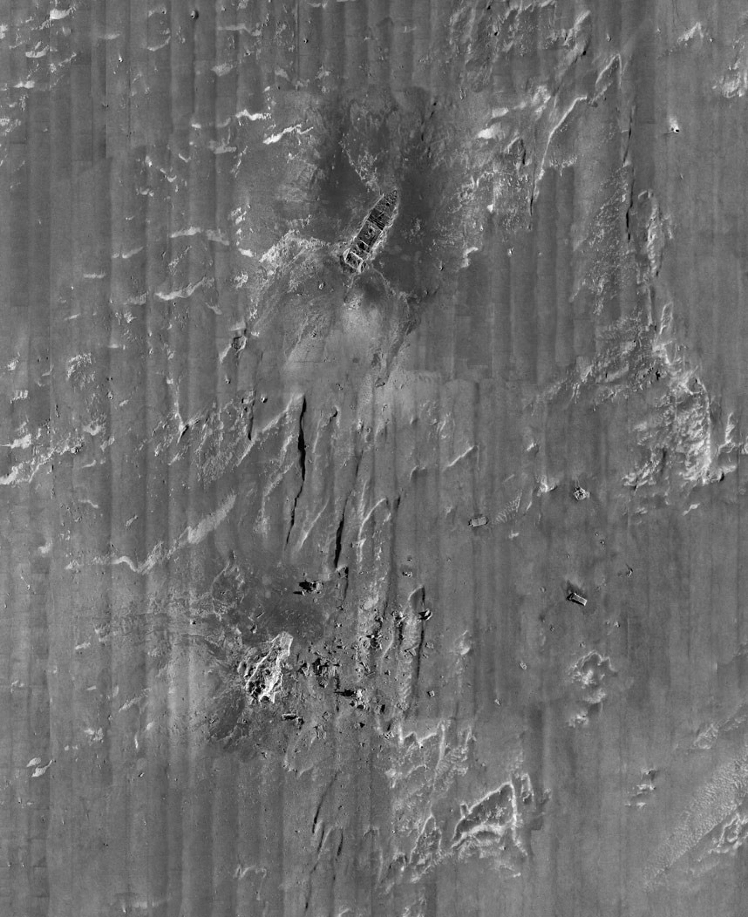
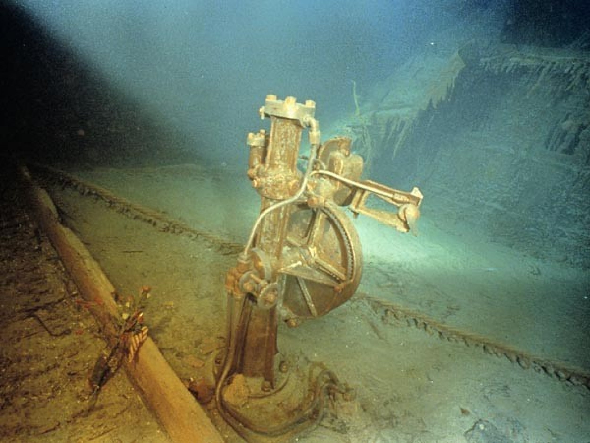
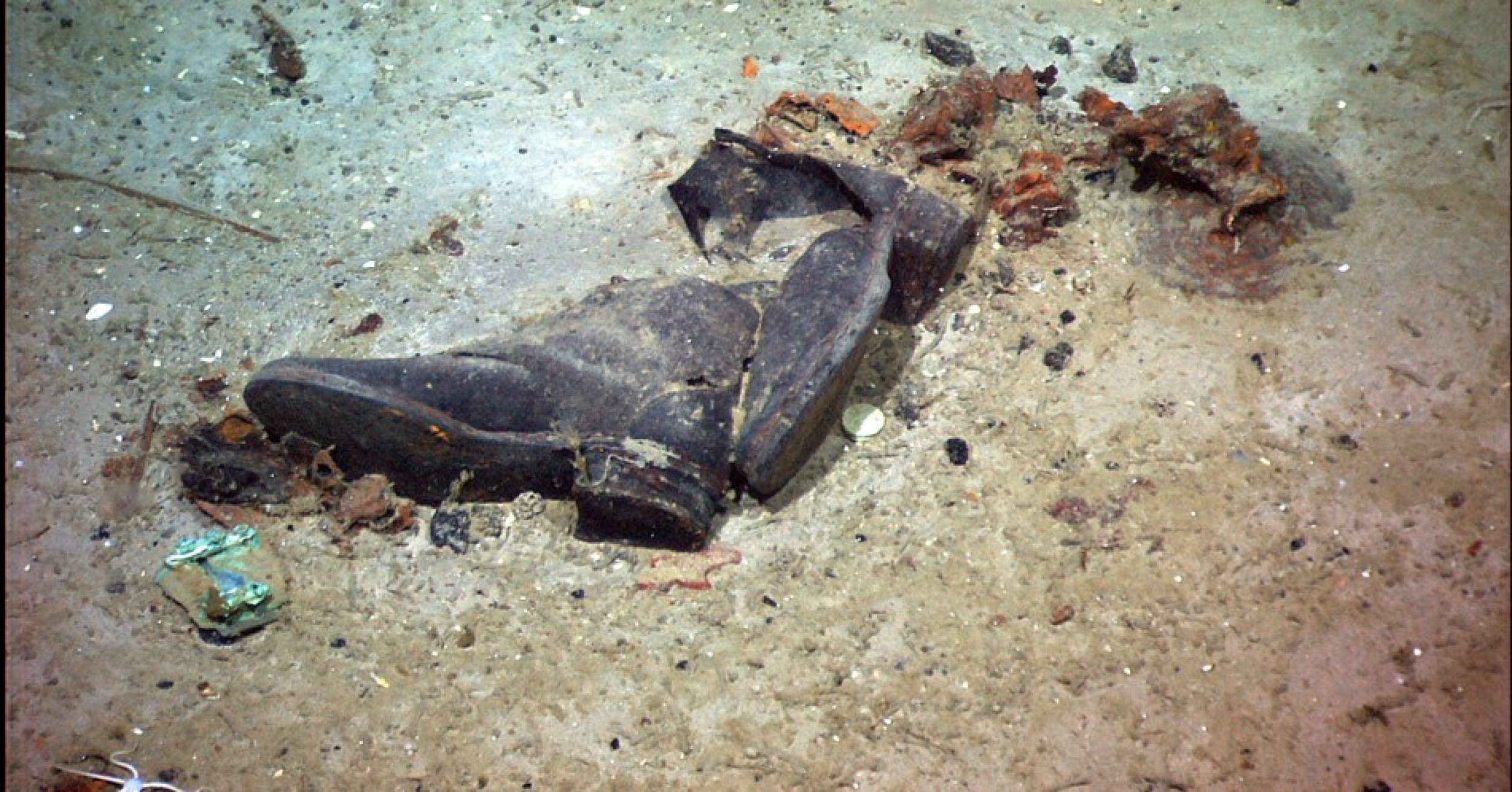
The Titanic rests hidden at the bottom of the Atlantic Ocean, but Thursday, explorers released the first comprehensive map of the entire debris field on the heels of the 100-year anniversary of the famous sunken ship.
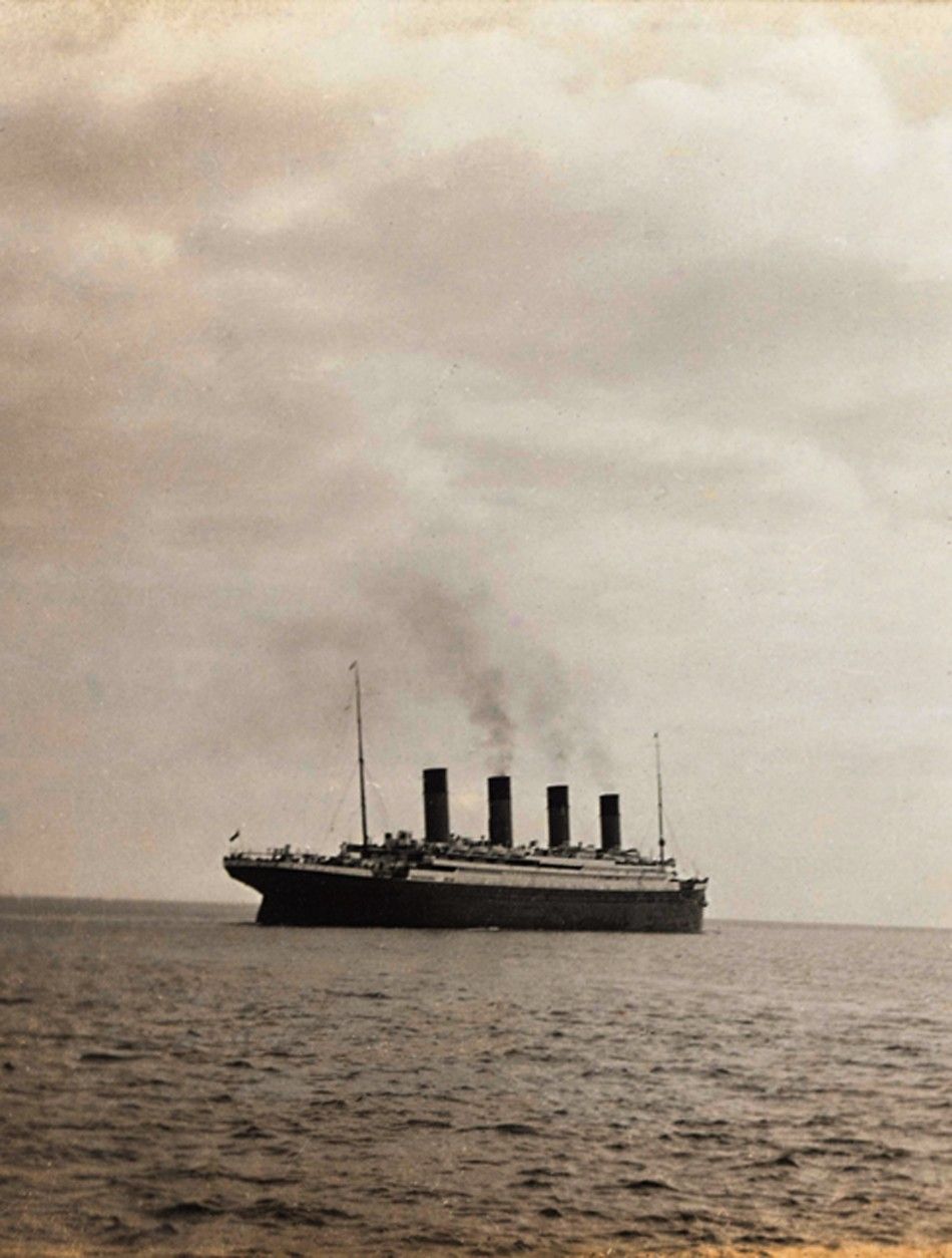
The map comprises of the 3-by-5 mile (4.8-by-8 km) tract of ocean bottom where the ship rests in two parts after an iceberg sank the ship April 14, 1912 that killed over 1,500 passengers.
An expedition team used sonar imaging to capture 100,000 images of the wreckage 2.3 miles (3.6 km) below the surface of the Atlantic Ocean. The researchers stitched together the images into a single low-resolution map. A higher-resolution map will be released in conjunction with the centennial and two-hour documentary on the expedition on the History Channel scheduled April 15.
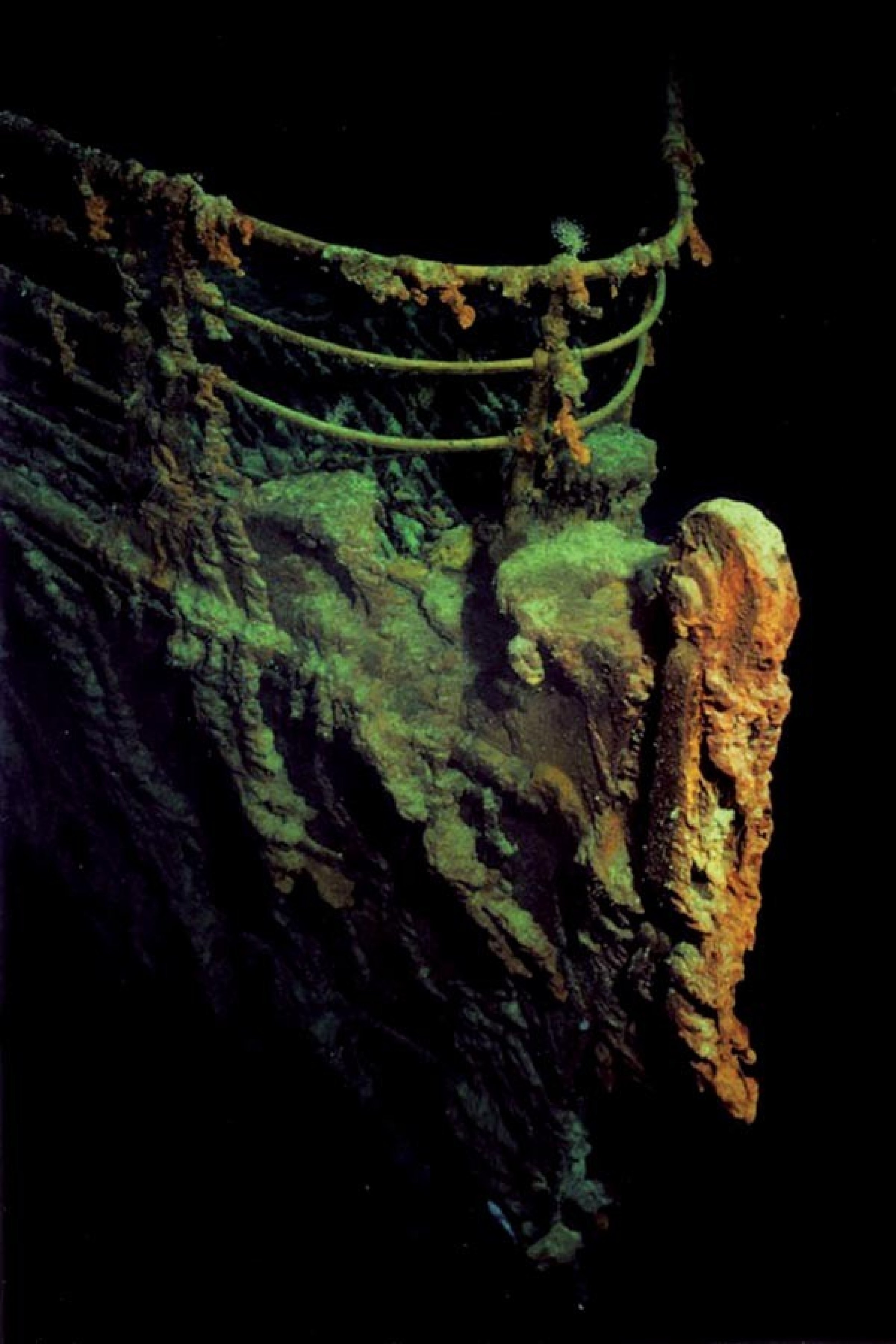
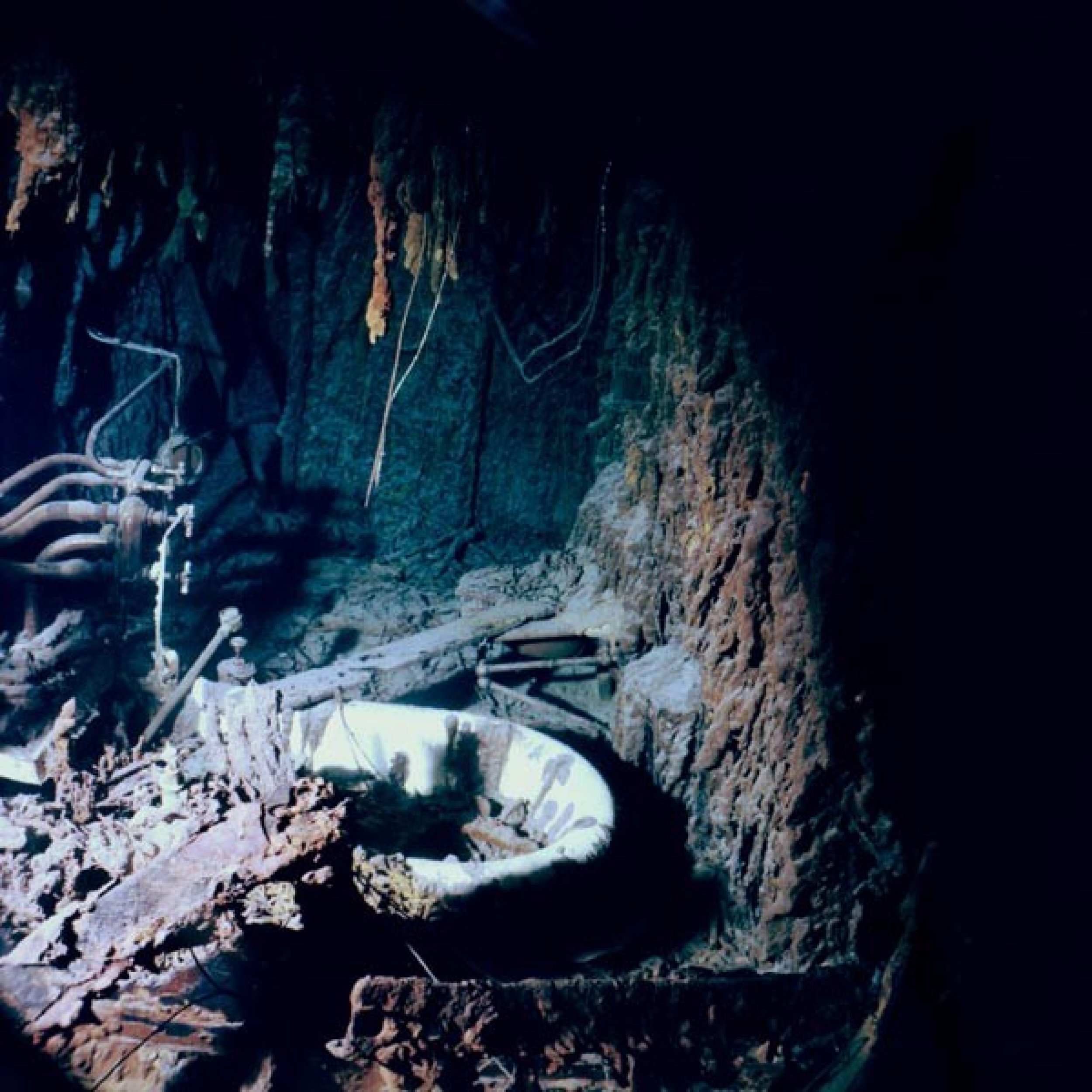
Explorers found the wreck in 1985 and since, numerous expeditions have photographed the wreck, but none have done it in such detail, the expedition team told The Telegraph. The sonar map gave researchers a complete map of the watery grave of the Titanic.
With the sonar map, it's like suddenly the entire room lit up, and you can go from room to room with a magnifying glass and document it, Parks Stephenson, a historian involved with the expedition, told The Associated Press. Nothing like this has ever been done for the Titanic site.
© Copyright IBTimes 2025. All rights reserved.


