

Tropical Storm Imelda Forms In The Gulf Of Mexico, Atlantic Disturbance Upgraded To Tropical Depression
Tropical Storm Imelda has formed in the Gulf of Mexico near Texas and Louisiana while a tropical depression continues to grow in the central Atlantic Ocean.
The National Hurricane Center officially upgraded Imelda to a tropical storm after tracking the storm formation since early Monday. It was tracked moving toward eastern Texas and southern Louisiana while quickly gaining strength thanks to warm waters in the Gulf of Mexico.
As of 1 p.m. CST Tuesday, Imelda was 40 miles southwest of Galveston, Texas, moving north at 7 mph with sustained winds of 40 mph. Texas has issued tropical storm warnings for communities located between Port Bolivar and Sargent, while flash flooding is considered a major concern for Houston and Galveston. Warnings have also been issued for southwestern Louisiana, near the border of Texas.
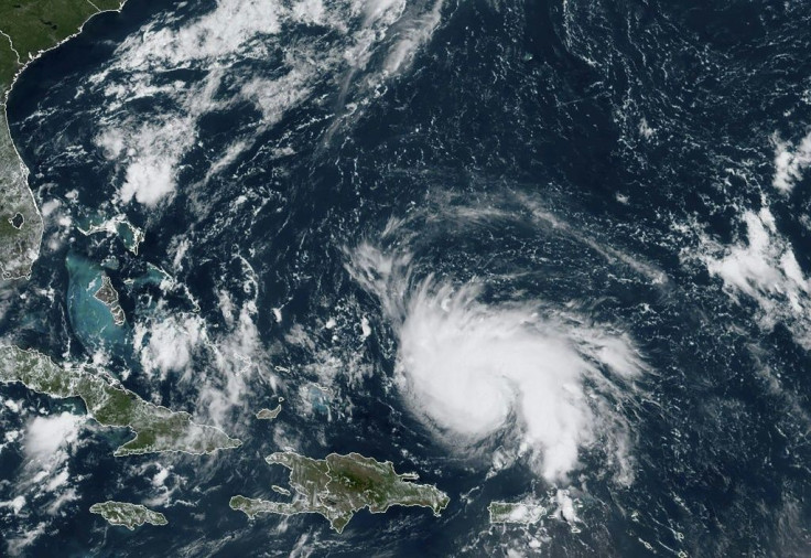
The second disturbance the NHC was tracking farther out in the Atlantic has also grown quickly thanks to favorable conditions in the open ocean. It was officially upgraded to Tropical Depression TEN, or TD 10, shortly after Imelda.
The depression is forecasted to remain in the open ocean through the end of the week, growing as it moves westward toward the Caribbean. It’s expected to be upgraded to a tropical storm by late Tuesday evening and then reach hurricane strength by Friday morning. By that time, the storm is forecasted to be sitting near the Dominican Republic and moving toward the still recovering Bahamas.
It is still unknown what effect, if any, the storm could potentially have on Florida and the southeastern U.S.
© Copyright IBTimes 2025. All rights reserved.
- MOST POPULAR IN National


