

Extreme Weather 2019: Tropical Storms Jerry, Karen And Lorenzo Tracked In The Atlantic Ocean
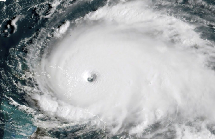
The National Hurricane Center has been tracking three tropical storms that had formed over the last week across the Atlantic in the wake of Hurricane Humberto and Tropical Storm Imelda. There the latest in what has been an active 2019 storm season that has resulted in 12 named storms in the Atlantic.
Tropical Storm Jerry was the first of the three to form, following in the wake of Hurricane Humberto. It also followed a similar path to the hurricane, turning northeast and scrapping the Caribbean before moving more into the central Atlantic towards Bermuda. Tropical storm warnings have issued for the island residents still reeling from Humberto, with “life-threatening currents” expected to start Tuesday.
Karen poses the most imminent threat to the Caribbean after forming south of Puerto Rico. Monday’s forecasts have the storm moving north-northwest directly over Puerto Rico and scrapping the British Virgin Islands. It is expected to weaken to a tropical depression by Monday evening, but residents have still been warned of tropical strength winds and rainfall that could cause flash floods and mudslides.
The third storm is Lorenzo, which formed on the opposite end of the Atlantic. Monday forecasts had the storm sitting off the coast of Africa, scrapping Guinea, Guinea-Bissau, Gambia, and the Cape Verde islands. It’s expected to begin pushing north-northwest into the central Atlantic and continue gaining strength while in the open ocean.
Lorenzo is also expected to strengthen to a hurricane by the weekend.
© Copyright IBTimes 2025. All rights reserved.
- MOST POPULAR IN National


