

Google Street View Adds California National Parks For Armchair Travel

Each day, the world gets a little smaller thanks to Google's Street View team.
It has single-handedly brought the far corners of our planet into our homes, fostering an ever-growing community of insatiable armchair travelers. This year alone, the Silicon Valley wizards documented everything from Antarctica to the Amazon, but the team's latest addition is much closer to home: California's national parks.
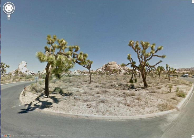
A team of photographers received special permission from the U.S. Department of the Interior and hit the road this past May using vehicles rigged with 15-lens cameras. Exploring six national parks -- Death Valley, Joshua Tree, Redwood, Sequoia, Kings and Yosemite -- Google shot a patchwork of still images that form a 360-degree panorama of California's rugged backcountry. Highlights include forays into Glacier Point and Half Dome in Yosemite, the looming trees in Redwood and wide-open vistas of Death Valley, among other dazzlers.
"Everyone likes to take a road trip through a national park," project manager Evan Rapoport told the Associated Press. "Bringing unique places to people that they might not go in the real world is unique to Street View."
Rapoport hopes virtual visitors will form a bond with the places seen on Street View and then seek a way to view them in real life.
"Part of our goal is to inspire people to see these places in person," he said.
National park attendance is on the decline in America, thus officials have welcomed these virtual visits as a way to keep people connected to the parks.
Whether or not virtual tourists will turn into actual tourists, however, remains to be seen.
Have A Look
Death Valley National Park
Joshua Tree National Park
Redwood National Park
Sequoia & Kings Canyon National Parks
Yosemite National Park
Read Also
Google's Amazon River 'Street View' Allows For Virtual Tours [PHOTOS & VIDEOS]
Great Barrier Reef Goes Online With Google Help [PHOTOS & VIDEO]
© Copyright IBTimes 2025. All rights reserved.
- MOST POPULAR IN Travel


