

Tropical Depression Imelda Brings Flooding To Texas, Tropical Storm Jerry Expected To Become Hurricane By End Of The Week
Tropical Depression Imelda pounded the Texas coastline Wednesday as Tropical Storm Jerry pushed west toward the Caribbean.
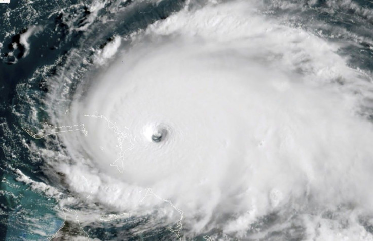
Imelda made landfall near Freeport in eastern Texas Tuesday afternoon, pushing north toward Houston. It didn’t take long for flash flooding to break out, with some areas reporting 7- to 10 inches of rain. East Texas could see as much as 18 inches of rain before Imelda dissipates later in the week.
“Heavy rains and significant flash flooding will spread inland over eastern Texas during the next couple of days,” the National Weather Service said.
The National Hurricane Center downgraded Imelda to a tropical depression Wednesday morning, as it headed north at 5 mph with sustained winds of 30 mph.
In the Atlantic, tropical depression 10 was officially upgraded to Tropical Storm Jerry by the NHC, making it the 10th named storm of the 2019 hurricane season. Jerry was pushing west toward the Caribbean and is expected to become a hurricane by Thursday.
What is still up in the air is the exact path Jerry could follow. Most forecasts have the storm pushing west, scraping Puerto Rico and the Dominican Republic by the weekend. Wednesday morning forecasts also have the storm making a sharp turn north and heading back out to sea. However, the NHC and other meteorologists not the path of the still-developing storm could change.
© Copyright IBTimes 2025. All rights reserved.
- MOST POPULAR IN National


