

Extreme Weather 2019: Tropical Disturbance In Caribbean Could Hit Florida As A Tropical Storm By Friday
A tropical disturbance that has formed in the Caribbean could become a tropical storm as it moves closer to the Florida coast.
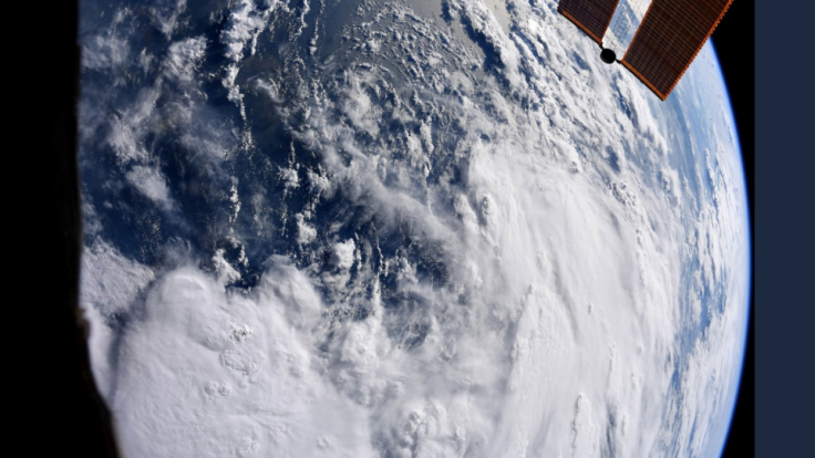
The disturbance began forming over the weekend, bringing a wave of storms to smaller islands south of the Dominican Republic. It began forming from a low pressure front that gathered around the Caribbean and has hovered over the Lesser Antilles.
By Monday, the disturbance had begun moving up through the Caribbean and is forecasted to hit the Greater Antilles and the Bahamas over the next few days. At minimum, it will bring heavy rainfall to the tourist-populated islands.
Forecasters also believe it could gain enough strength to be the next tropical storm of the Atlantic’s current hurricane season by the end of the week.
“Waters are sufficiently warm for tropical development in the Caribbean,” meteorologist Brett Rathbun told AccuWeather. “However, there is some wind shear in the path of the disturbance and its forecast path takes the center just south of Puerto Rico and near Hispaniola at midweek.”
Rathbun also said that if the storm is able to keep up momentum coming out of Hispaniola, it could hit southern Florida by the end of the week.
“Assuming the system has held together or has organized, wind shear is forecast to increase right near and northeast of Florida late this week and into this weekend,” Rathbun continued.
The only question is just how strong the storm front could be by the time it hits the Florida coastline.
© Copyright IBTimes 2025. All rights reserved.
- MOST POPULAR IN National


