

Extreme Weather 2020: Warnings Issued In Caribbean As Tropical Storm Isaias Continues Pushing Towards Florida
KEY POINTS
- Tropical Storm Isaias began moving over Puerto Rico and the Dominican Republic as it hammers the greater Caribbean for much of Thursday
- Isaias is projected to either continue into the Gulf of Mexico and weaken or turn northward along the U.S. east coast
- Isaias is being monitored for its hurricane potential after the rapid development of Hurricane Hanna off the southeastern coast of Texas
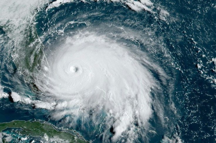
Tropical Storm Isaias continued pushing into the Caribbean on Thursday and is projected to hammer Florida once it makes landfall in the southern state over the weekend.
As of 5 a.m. Thursday, Isaias sat around 150 miles off the southern coast of Puerto Rico and is expected to make landfall on the Dominican Republic before noon. It was producing winds averaging around 60 mph and is moving northwest at 21 mph.
Tropical storm warnings have been issued for most islands within the Caribbean as Isaias will hit most islands on Thursday and Friday.
“Isaias will produce heavy rains and potentially life-threatening flash flooding and mudslides across the Virgin Islands, Puerto Rico, the Dominican Republic, northern Haiti, and over the Bahamas,” the National Hurricane Center said.
What is not clear is the exact path Isaias will take as it continues to move towards Florida. The first model has Isaias remaining on a somewhat linear path, hitting the western coast of Florida as it moves into the Gulf and weakens. However, the second model has Isaias taking a sharp turn northward toward Florida’s east coast and would continue moving north along the greater U.S. east coast over the weekend.
“The eventual track will determine Isaias' strength and potential future development,” meteorologist Chad Myers told CNN. “A track mainly over water will let the storm get stronger. A path more over land and the mountains of Hispaniola and Cuba will help to tear it apart.”
Should Isaias turn north, it will hit most states along the U.S. east coast through Tuesday while it continues to weaken. The National Hurricane Center’s forecast has the storm breaking down into widely scattered storms and rainfall by 2 a.m. Tuesday as far north as New Jersey.
Isaias is also being monitored for its hurricane potential in the wake of Hurricane Hanna. Warm waters in the Gulf of Mexico allowed Hanna to develop rapidly off the coast of Texas before hitting the state’s southeastern coastline. There is concern the same could happen to Isaias once it passes the heart of the Caribbean and continues moving toward the U.S.
© Copyright IBTimes 2025. All rights reserved.
- MOST POPULAR IN National


