Seattle Snow Storm Hits Northwest, Less Snow Than Expected [PHOTOS]
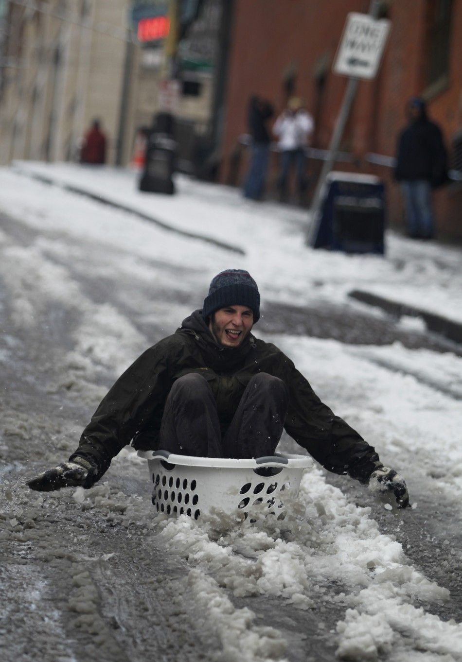
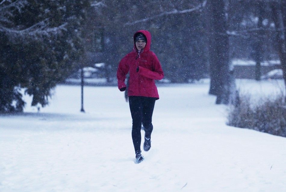
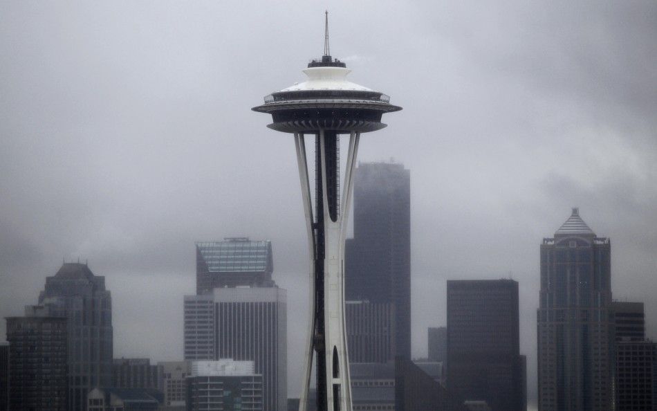
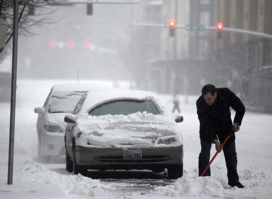
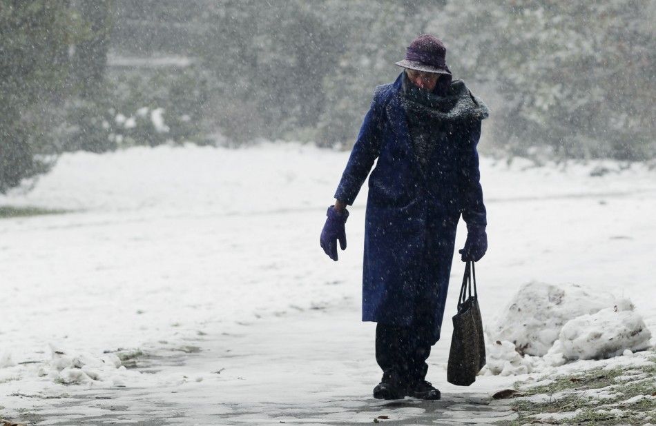
A highly anticipated snowstorm hit Seattle and the surrounding area Wednesday, dumping less snow than expected on the Pacific Northwest.
Forecasters downgraded their initial predictions of snowfall of 8 to 12 inches in the region to a more moderate 4 to 7. The expected snowfall could still be more than the average annual amount of snow of 5.9 inches in Seattle.
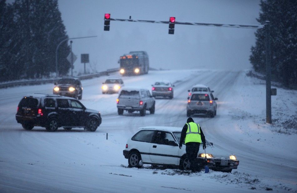
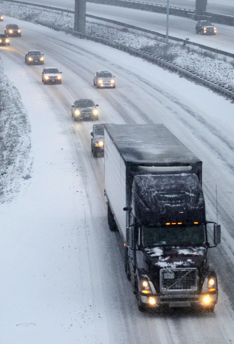
While eastern Washington state is accustomed to heavy snowfalls, Seattle and the surrounding Puget Sound cities are not. Residents are unaccustomed to driving in snow and the city is not equipped with the necessary salt and snowplows that are commonplace in Chicago and New York.
The National Weather Service put out a winter weather advisory in the area for Tuesday and Wednesday with warnings of dangerous roads and difficult travel conditions. Residents were advised to be prepared with extra flashlights, food, water and blankets in case of an emergency.
The expected snowstorm also prompted many schools to post delays and closures for Tuesday and Wednesday. Major airlines also cancelled their flights to and from the Seattle-Tacoma airport Wednesday.
There were expectations that the storm this week could exceed the amount of snow seen in the region since the record-breaking November 1985 blizzard. On Nov. 21 and 27, snow storms in the area brought a total of 17.5 inches of snow in Seattle in one of the coldest Novembers on record. Seattle's largest snowstorm on record of all time occurred Jan. 5-9 in 1880, with snow accumulation of 6 feet in some places, according to the Daily Mail.
Following the storm, snow may give way to rain later in the week, leading to more typical weather for the winter months in the region. Temperatures should rise Thursday and Friday, followed by an expected weekend forecast of rain with temperatures in the mid-40s.
© Copyright IBTimes 2025. All rights reserved.


